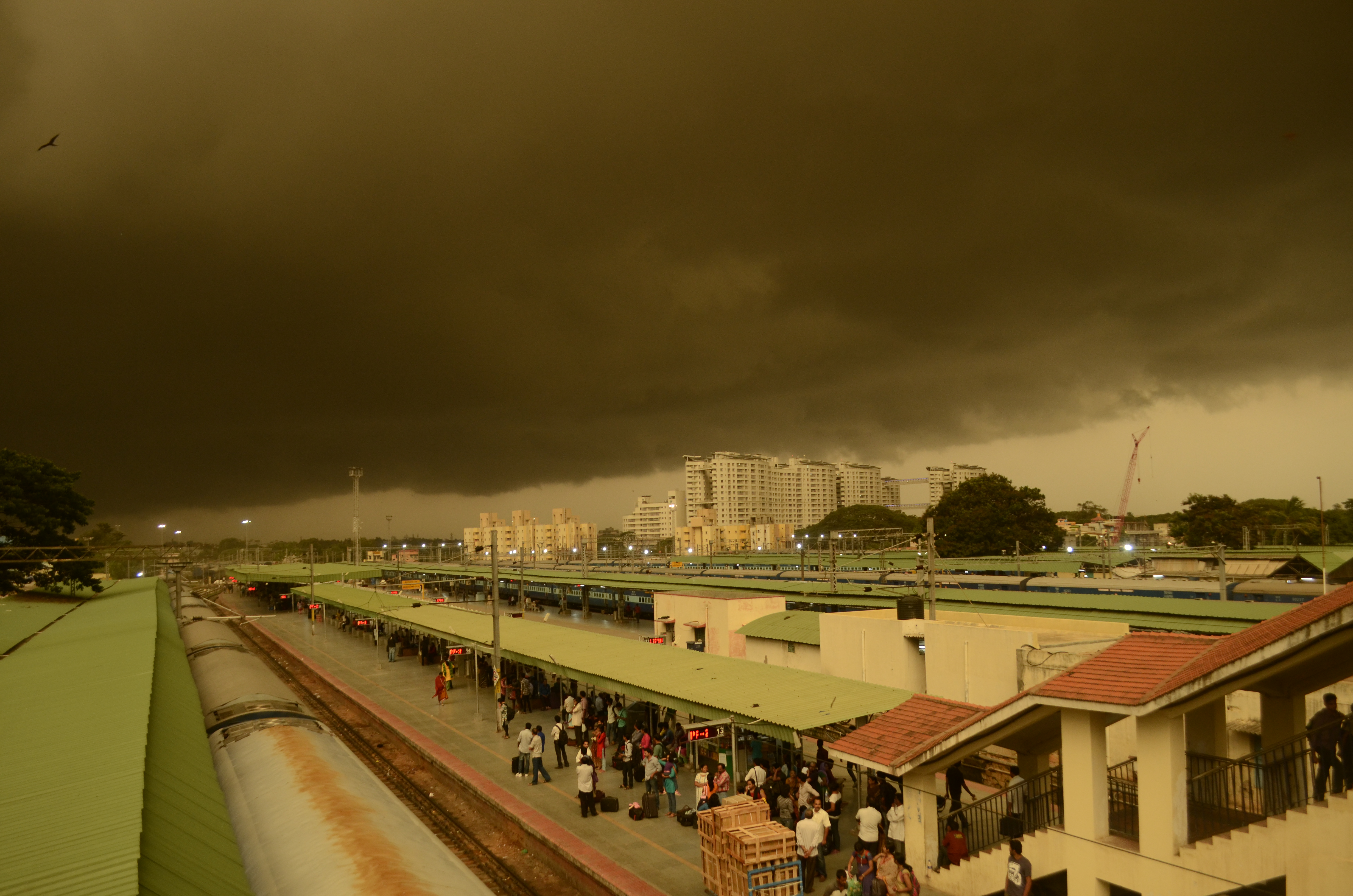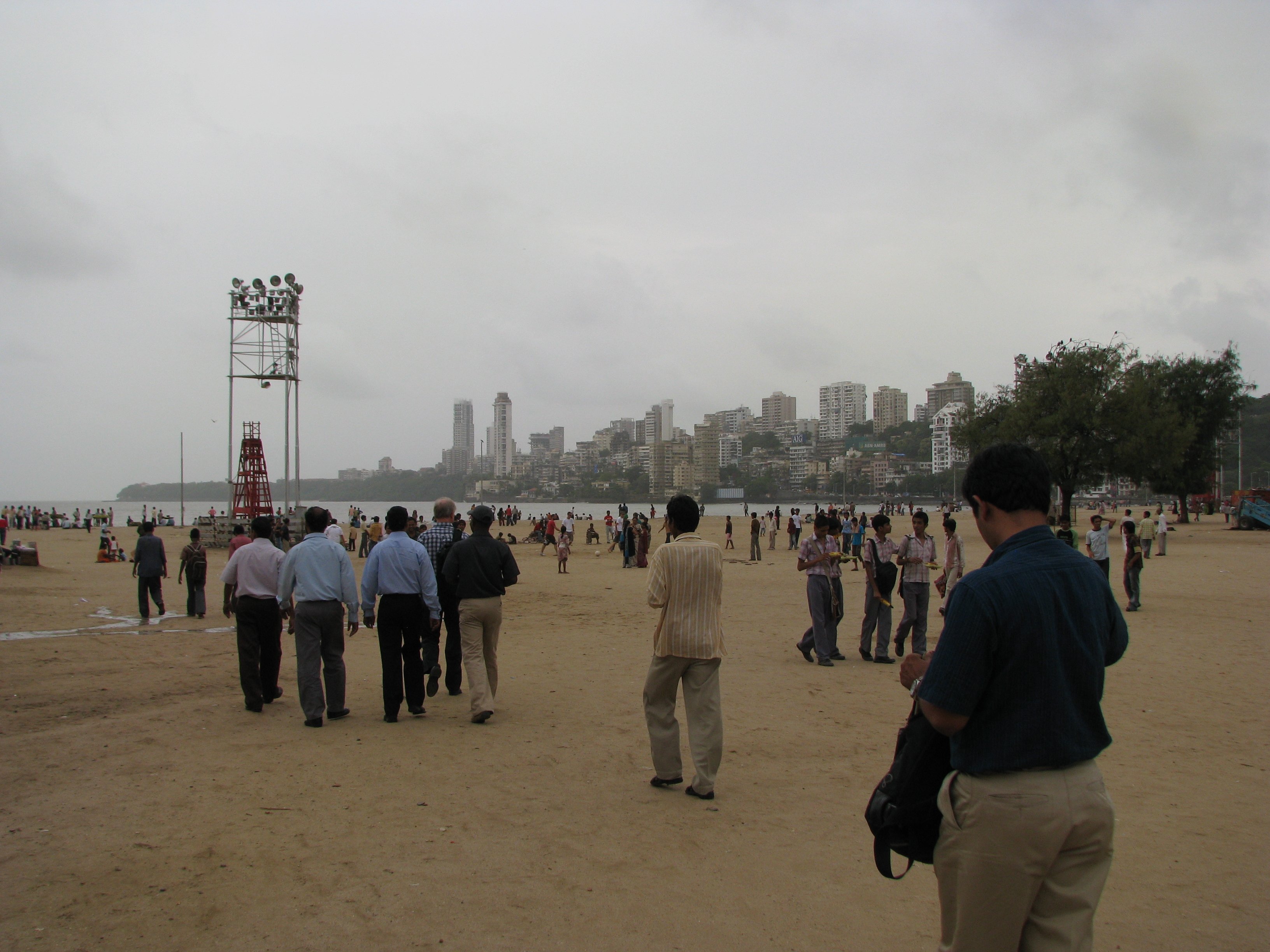

NEW DELHI — The capital went to bed on Tuesday with its Ridge observatory reading 44.7 degrees Celsius and woke up sixteen degrees cooler, shaken out of a four-day heatwave by a storm that rolled across the city around midnight with lightning, dust and short bursts of hard rain.
By 7:30 on Wednesday morning, the India Meteorological Department’s flagship Safdarjung station was logging 27 degrees, calm winds and 84 percent humidity, numbers that belong to a different season than the ones Delhi has lived with since the weekend. On Tuesday afternoon the same instruments had touched 43.5 degrees, and the Ridge ran higher still. The cooling is uneven. Wednesday’s station board stretched from 20.6 degrees at Loni to 37.8 at Ayanagar, a seventeen-degree spread inside one metropolitan area.
The whiplash matters beyond the capital, because it is the loudest signal yet that India’s weather map is splitting in two this week. The northwest is still fighting pre-monsoon heat, with the IMD keeping heatwave warnings alive for isolated pockets of Haryana, Chandigarh and Delhi through June 11. The west coast, meanwhile, is watching the southwest monsoon climb toward Mumbai, with rain alerts stretched across 30 districts of Maharashtra. In a country of 1.4 billion that learned only this week its fertility rate has slipped below replacement, the daily weather map is not small talk. It decides harvests, power loads and whether a school day happens.
The agency’s short-term script for Delhi reads in stages. Partly cloudy skies and surface winds of 30 to 40 kilometers per hour are expected on Wednesday, then thunderstorms with rain on Thursday under an orange alert, the second-highest tier in the IMD’s warning scale. Daytime readings near 44 degrees remain possible before the relief consolidates. The monsoon itself is not expected to reach the capital until somewhere between June 25 and June 30.
The heat has been more than a number here. It returned twelve days after the last spell broke and climbed more than seven degrees in four days, hot westerly winds stripping away whatever the night had saved. It also parked itself over a city deep in exam season, where families already tracking the fallout of a NEET retest the education ministry locked down this week got one more variable to plan around.
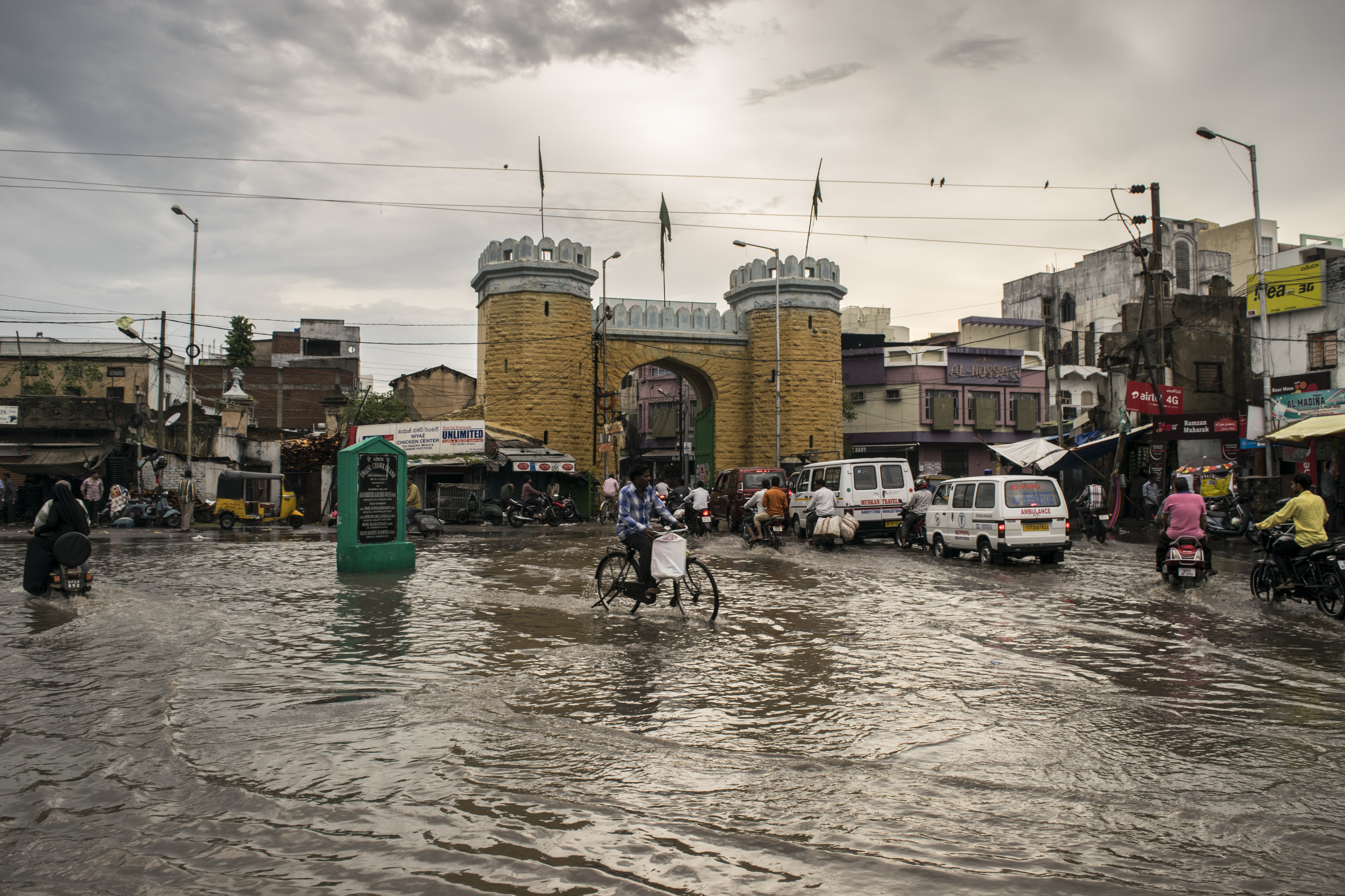
Mumbai’s morning told the other half of the story. The Santacruz observatory read 32 degrees with 67 percent humidity at 7:30 IST, the wind pushing 24 kilometers per hour off the Arabian Sea. The IMD expects light to moderate rain over Mumbai, Thane and Pune through June 13, and coastal districts including Palghar, Raigad and Ratnagiri carry warnings for gusty winds of 40 to 50 kilometers per hour with lightning. The yellow alerts issued on Monday covered 30 of the state’s districts at once.
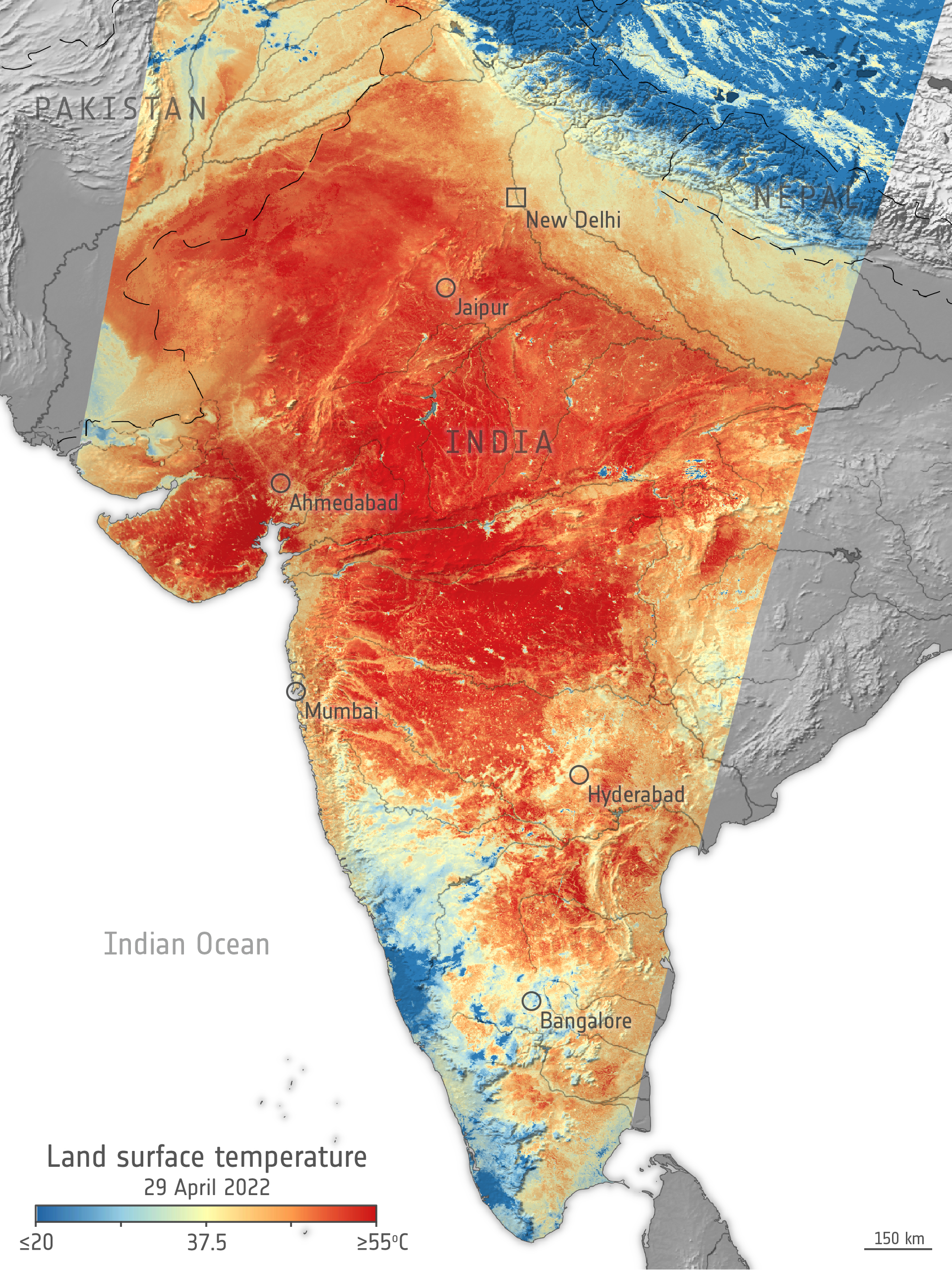
The system behind all of it is moving on schedule, and in places slightly ahead of it. The monsoon set in over Kerala on June 4, and by Tuesday it had pushed through the northeastern states, the whole of Sikkim and parts of sub-Himalayan West Bengal. Conditions are favourable, the agency wrote in its monsoon bulletin, for a further advance into Maharashtra, Karnataka, Telangana, Andhra Pradesh and the remaining parts of Tamil Nadu over the next four to five days.
That advance sets the table for the southern metros. Chennai sits inside the band where the monsoon’s remaining Tamil Nadu coverage should fill in, which in practice means heavy evening downpours arriving with little warning. Bengaluru, perched at altitude in the middle of Karnataka’s advance corridor, tends to feel it first as overnight thunderstorms. Hyderabad falls inside the Telangana stretch of the same forecast window, the one that will decide whether the city’s film crowds spend the weekend indoors, a question with real money attached in the first single-digit days of Ram Charan’s Peddi.
Kolkata is the odd city out. The monsoon has technically entered West Bengal, but only its sub-Himalayan districts, and the Gangetic plain that holds the city is still waiting in the humidity. The bulletin’s four-to-five-day window extends to some parts of West Bengal, language vague enough to keep the city guessing about which side of the line it lands on.
Kerala, where the season began, has already had its hard opening. The IMD placed the state and Mahe under a red alert for very heavy rainfall earlier in the week, the warning level it reserves for conditions that demand action rather than caution.
For the heat still gripping the northwest, the agency’s heatwave guidance remains in force, and the government has pushed a broader advisory through the Press Information Bureau urging the usual disciplines, hydration, shade in the afternoon hours, attention to the elderly and to outdoor workers who do not get to choose their shifts.
What the agency has not done is call the Mumbai onset. The June 10 to 13 rain window is a forecast, not a declaration, and the IMD will not certify the monsoon’s arrival over the city until its rainfall and wind criteria are met on the ground. There is also no assessment yet of what Tuesday night’s winds did across Delhi, no tally of fallen trees or power interruptions, and no commitment in writing that the capital’s relief survives past Thursday.
At Safdarjung on Wednesday morning, the instruments held at 27 degrees, the wind column read calm, and the humidity sat at 84 percent. After four days in the mid-forties, the city would take it.