
CHENNAI — Tamil Nadu is running two weathers at once this week. In the ghat country to the west, the rain gauges are the story, with an orange alert covering the hill stretches of five districts. On the coast, the instrument that matters is the wind vane, which at Chennai’s main station on Wednesday morning pointed due west and read 29.6 kilometers per hour of hot, dry air, with the temperature at 33 degrees Celsius by 8:30 and climbing.
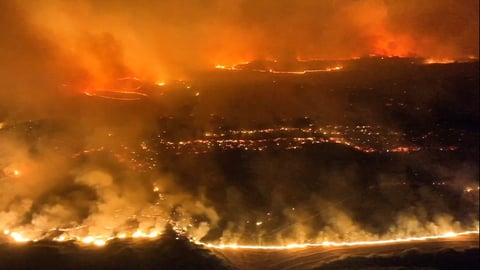
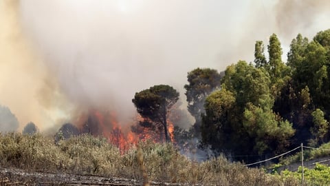
The alert is real and the rain behind it is real. The India Meteorological Department has flagged the ghat areas of Coimbatore, Tirunelveli, Tenkasi, Theni and the Nilgiris for heavy to very heavy rainfall, a warning the national broadcaster DD News carried alongside a forecast of continued downpours across the state’s south and west. The same advance has the agency’s monsoon bulletin listing the remaining parts of Tamil Nadu inside the corridor where conditions favour the monsoon’s spread over the next four to five days.
Which raises the question every Chennai resident has learned to stop asking: if the monsoon is arriving in Tamil Nadu, why is the capital hot, dry and getting hotter? The answer is the oldest fact of the city’s geography. Chennai sits in the rain shadow.
The southwest monsoon comes off the Arabian Sea loaded with moisture and meets the Western Ghats first. The hills take the water. What crosses over and descends onto the Coromandel plain is air that has already paid out its rain, compressing and warming as it comes down the lee side. That is precisely the westerly blowing through the city on Wednesday morning, and its speed, nearly 30 kilometers per hour, is less a breeze than a bill of lading showing the cargo was delivered elsewhere.
The station board across the state draws the gradient cleanly, and the Regional Meteorological Centre in Chennai publishes it every morning. Nungambakkam in the city’s heart read 32.6 degrees with 73 percent humidity. Madurai, deeper south, sat at 30. Kanyakumari, at the tip where the monsoon first brushed India, read 28.6 degrees with 88 percent humidity and a sea wind. The closer a station stands to the monsoon’s working side, the kinder its morning.
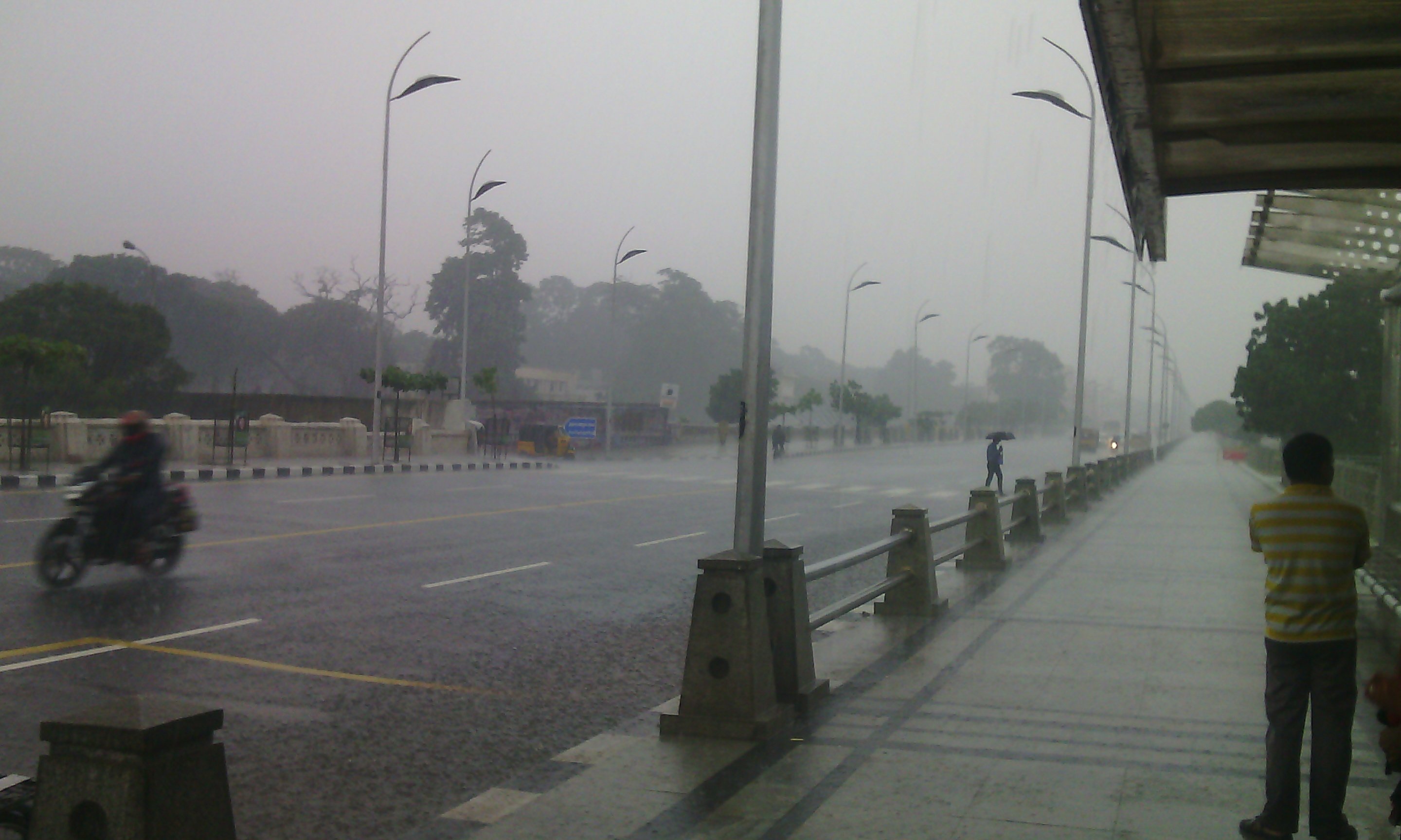
Chennai’s real rains run on a different calendar. The city draws the bulk of its annual water not from this season but from the northeast monsoon, the October-to-December reversal that fills its reservoirs and, in bad years, its living rooms. June rain here arrives as incidental evening thunderstorms when the heat builds high enough to break, not as the steady systems now drenching the ghats. The city watches the southwest monsoon the way a downstream cousin watches a wedding, fond, invested and unfed.
The split is the local edition of a national pattern this week. The same advance that broke Delhi’s heatwave and set Mumbai’s countdown has put Bengaluru under a red alert one state over, where very heavy rain is forecast through Thursday. Chennai, 350 kilometers east of that alert, will spend those same days in the mid-thirties.
The heat is its own warning here. The IMD’s reporting, carried by the broadcaster alongside the rain alerts, keeps a dry spell running across Tamil Nadu’s northern districts even as the south floods, with temperatures holding above normal. For the city’s construction crews, traffic constables and street vendors, the orange on the map sits over somebody else’s district while the sun sits over theirs.
What the agency has not said is when the monsoon’s formal coverage reaches Chennai’s own district, or what that coverage will mean in measurable rain once the rain shadow takes its cut. The five-district alert runs through Wednesday, and whether it extends depends on the evening bulletin. None of the forecasts on the board promise the city more than the chance of a heat-built thunderstorm.
So the capital does what it does every June. It reads about the monsoon arriving in its own state, checks a sky the color of a heated pan, and waits for October.