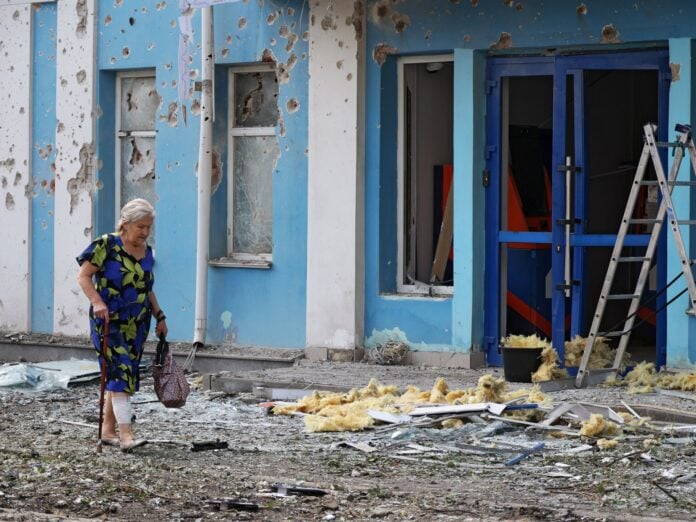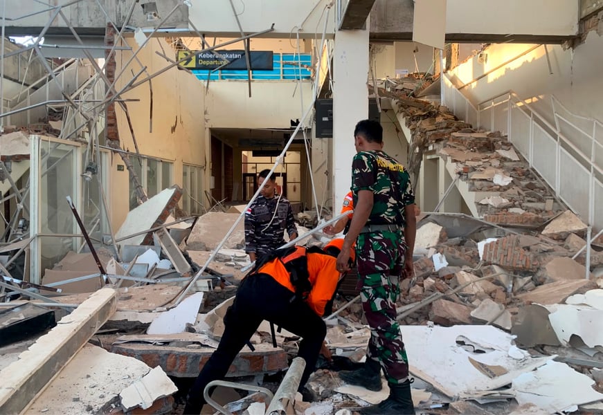

JAKARTA — The earthquake struck before dawn, when most of Flores Island was still asleep. At 5:58 in the morning, a 7.7-magnitude tremor ruptured at a depth of just 10 kilometres beneath the waters north-northwest of Ende city, sending shockwaves across East Nusa Tenggara province with enough force to collapse homes, trigger landslides across mountain roads, and scatter families into the dark.
By Sunday, at least 53 people had died. The number is almost certainly not final. Rescue teams have yet to reach the regency of Nagekeo, which sits closest to the epicentre and has been sealed off by landslides blocking its only road connections to the rest of the island.
Indonesia’s National Disaster Management Authority, known by its Indonesian acronym BNPB, said 36 people had sustained serious injuries and 77 more had minor wounds. The agency recorded 341 aftershocks in the hours following the initial strike, a number that complicated search-and-rescue operations across Sikka regency and the port town of Maumere, where the damage to residential structures was most visible. More than 3,500 military personnel and police officers were deployed across the affected area, with three helicopters and a rescue vessel supporting the effort by air and sea.
At provincial health facilities in East Nusa Tenggara, hospital wards filled quickly. Several medical facilities on Flores itself sustained structural damage and were forced to move patients outside into makeshift tent areas before transferring the critically injured by air. Deputy Health Minister Benjamin Paulus Octavianus confirmed the injury count during a televised emergency briefing with provincial officials, describing a health system under pressure that needed reinforcements quickly.
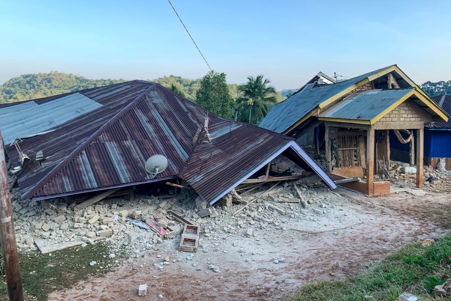
The scale of displacement is substantial. More than 5,000 people have been evacuated: roughly 3,300 from Sikka regency and 2,000 from Nagekeo. Officials counted 157 structures completely destroyed and more than 1,300 others damaged. In Talibura village, near the port town of Maumere, residents reported entire rows of homes had collapsed. Twenty petrol stations across the affected zones were closed for safety checks.
The tsunami risk added a second wave of fear in the first hours. Because the quake struck at a shallow depth offshore, Indonesia’s Meteorology, Climatology and Geophysics Agency issued a warning within minutes of the initial tremor, prompting coastal evacuations along Flores’s northern shoreline. The alert was subsequently lifted after monitoring data showed no significant sea-level displacement. But the period of uncertainty was its own ordeal. Residents did not know whether to run for higher ground or return to assess the damage, compounding an already traumatic morning.
Flores sits in one of the most seismically active corridors on earth. The island lies along the collision zone of the Indo-Australian and Eurasian tectonic plates, a boundary that has produced some of the most destructive earthquakes in Indonesian history. In December 1992, a 7.8-magnitude earthquake struck the same region, killing more than 2,500 people and generating a tsunami that reached Flores’s northern coast. Saturday’s quake was only marginally smaller by magnitude, but magnitude is not the same as destruction, and the full accounting of this earthquake will not be possible until access to Nagekeo regency is restored.
The road to Nagekeo remains blocked by landslides, and that practical constraint shapes every number in the official toll. Helicopter teams have been given priority access for search-and-rescue and medical transfers, but mountain terrain, aftershock instability, and wet-season rainfall risk complicate aerial operations. Officials in East Nusa Tenggara said they were evaluating whether to formally declare a provincial state of emergency, a designation that would accelerate federal resource allocation and streamline coordination between military and civilian agencies. No declaration had been made by Sunday.
This summer has been a punishing one for disaster response agencies around the Pacific. Hurricane Lala Hawaii knocked out power to more than 124,000 homes just last week, and emergency teams in Europe have simultaneously been managing the Belgium wildfire emergency across more than 3,000 hectares in the High Fens. International resources for rapid disaster response are stretched.
Indonesia’s eastern provinces have historically been among the most difficult terrain for large-scale relief operations. They sit furthest from Jakarta’s administrative centre, have thinner infrastructure, and are often last to receive the logistics support that arrives quickly in Java or Sumatra after a major event. Al Jazeera reported that authorities were still assessing the full scope of damage to public infrastructure, including roads and bridges that may require weeks of reconstruction before full access to remote communities is restored.
Rescue teams are still working. The death toll will rise. What they will find in the communities sealed off by landslides, in Nagekeo’s interior closest to where the fault slipped, remains the question no one in the affected province can yet answer.