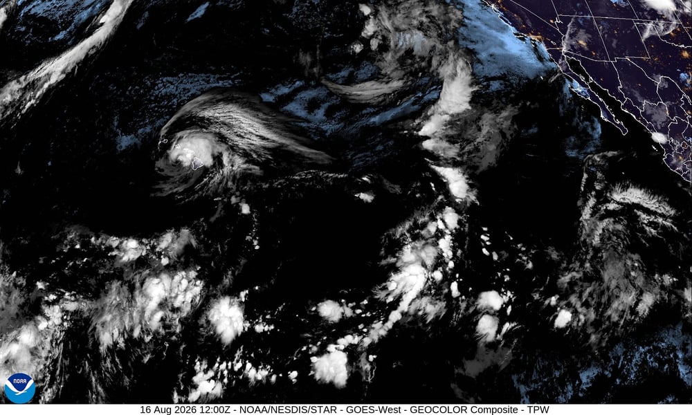

HONOLULU — Near South Point on Hawaii’s Big Island, a driver died Saturday when Lala’s storm-force winds and flooding made the roads impassable. The rest of the island was faring little better.
By Sunday morning, the storm, downgraded from Category 1 hurricane to tropical storm as its eyewall brushed through the southernmost reaches of the chain, had knocked out power to more than 124,000 homes across the state. At the summit of Mauna Kea, instruments recorded gusts topping 140 miles per hour. The official sea-level winds were 70 miles per hour. What Hawaii’s terrain did to them was something else entirely.
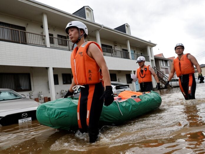
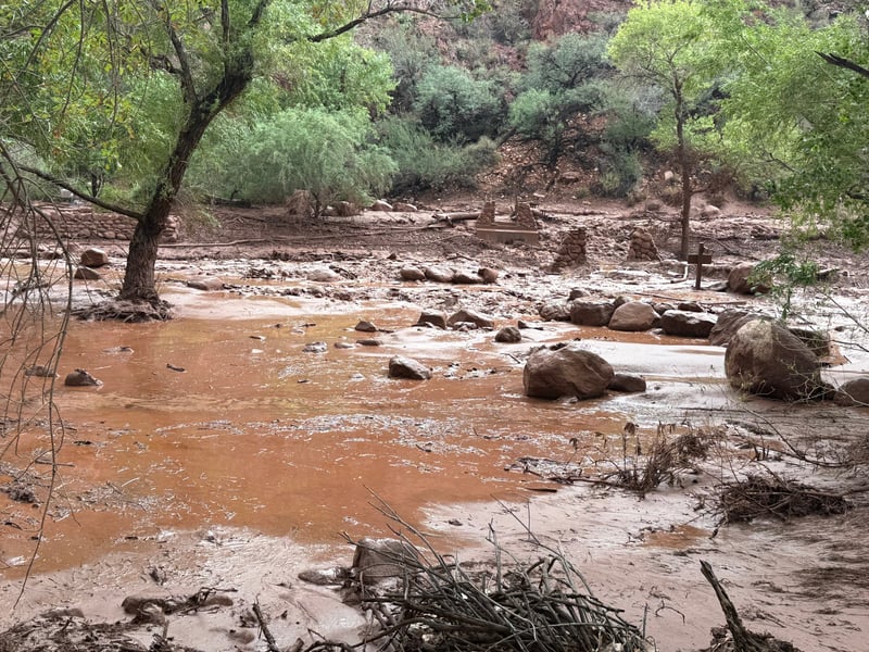
Two homes in Naalehu, in the Big Island’s Kau District, were swept away by flash flooding Saturday evening. Roads across the island were blocked by downed trees and severed power lines. Hilo International Airport and Ellison Onizuka Kona International Airport both closed temporarily; commercial ports on the Big Island and Maui County shut as well. The rain gauge at Nahuku, inside Hawaii Volcanoes National Park, recorded 20.74 inches by Saturday night alone. The National Hurricane Center forecast called for maximum totals of 30 to 35 inches across the windward Big Island and Maui before the system moves on.
Governor Josh Green declared a state of emergency on Thursday, three days before the worst of Lala’s conditions confirmed the urgency. By Sunday, roughly 180 members of the Hawaii National Guard had been activated and deployed across the islands. “Please be safe. You definitely want to be home, do not be out on the roads,” Green said.
Lala’s latest advisory, issued at 2:00 AM local time Sunday, placed the center approximately 105 miles west-northwest of Kailua-Kona and 100 miles south of Honolulu, moving northwest at 15 miles per hour. Tropical Storm Warnings remained in effect for Hawaii County, Maui County, Oahu, and Kauai County, according to CBS News. Storm surge of 1 to 3 feet above normal tide levels was forecast along exposed coastlines. Conditions were expected to deteriorate across Oahu through Sunday morning as the system tracked westward toward the smaller western islands.
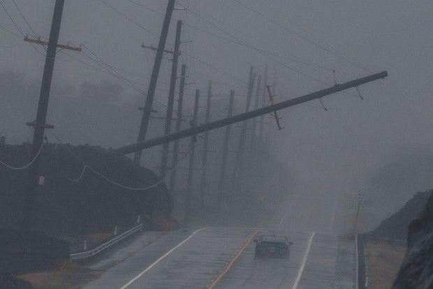
The same week the Colombia earthquake death toll climbed toward 294, prompting Bogota to request emergency aid relief from Washington, the Pacific was running its own arithmetic above the Hawaiian chain. Natural disasters this week tested emergency infrastructure across two continents and one ocean simultaneously, each with the same underlying question: how quickly can a government put resources where they are needed when the roads that emergency crews must travel are the same roads the storm has closed.
The last hurricane to make direct landfall in Hawaii was Iniki in 1992, a Category 4 storm that killed six people and caused roughly $3 billion in damage on Kauai. Iniki remains the reference point in emergency briefings across the islands, the storm officials invoke when residents question whether preparations are worth the trouble. Lala did not rise to Iniki’s scale, but it did not need to: 30 inches of rain and a 14,000-foot mountain in a system’s path computes its own destruction independently of the Saffir-Simpson table.
Hawaii Department of Education canceled weekend extracurricular activities in anticipation of the storm; a decision on Monday school openings was still pending as of Sunday morning. Most of Hawaii Volcanoes National Park was closed to visitors. The Hawaii Department of Transportation closed Big Island and Maui County commercial ports.
The full extent of damage across the Big Island will not be clear until emergency crews can safely reach communities cut off by flooding and severed lines. As of Sunday, that assessment had barely begun. What was already certain: the road near South Point that claimed Lala’s first confirmed fatality remained closed, and the question of how many losses are still unreported from the storm’s most isolated corners had no answer yet.