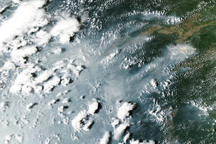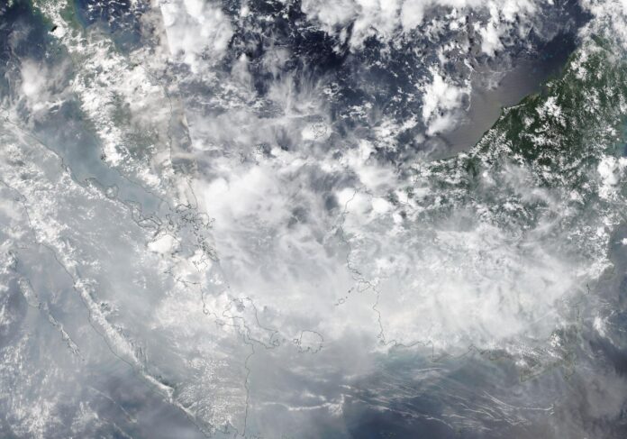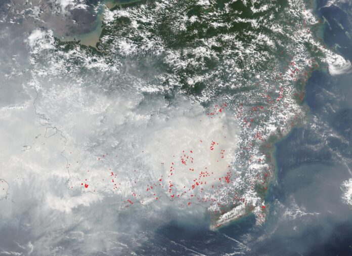

BRASÍLIA — Days after smoke closed schools in Manaus, Brazil’s government announced on Friday that the Amazon lost less forest to clearing in the past year than in any year since records began. The two facts do not contradict each other, and the government’s own satellite agency took pains to say why.
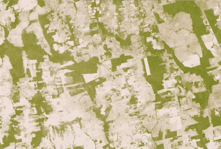
The National Institute for Space Research, INPE, put clearing at 3,335 square kilometers between August 2025 and July 2026, down 41.8 percent from 5,731 the year before. The previous low was 4,571 in 2012, and the series starts in 1988. The Cerrado savanna fell 23.8 percent to about 5,517 square kilometers, the lowest since its series began in 2001. The numbers arrive nine days before the Brazil runoff, which gives a result the government is already crediting to its own enforcement a second audience.
Read the fine print before the headline. The Amazon figure is an estimate built from priority satellite images, and the consolidated rate is not due until the first half of next year. The 5,731 it is compared with is already consolidated, so the drop sets a preliminary number against a final one.
INPE said in its release that the indicators measure different phenomena and that October’s fires fall outside the August-to-July window. That matters now. INPE’s October fire detections were running close to triple last year’s pace when TEH reported on the Amazon fires that shut Manaus classrooms.
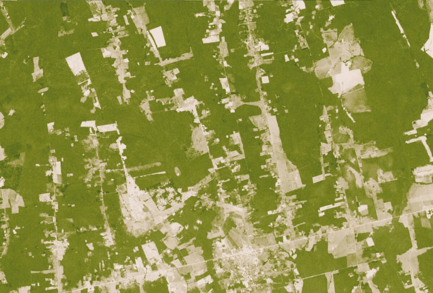
The state tables show where the decline came from. Pará recorded 1,130 square kilometers against 2,064, Mato Grosso 849 against 1,593 and Amazonas 525 against 979. Roraima was the exception among nine states: 286 square kilometers against 285, after INPE’s August consolidation had it falling 39 percent a year earlier.
The government credits enforcement. Its release says the environment agency Ibama carried out 76,095 inspections between 2023 and 2026 and issued 11.8 billion reais in fines, figures that come from the government itself and that the release does not source independently. INPE’s monthly alerts had been signalling the result since the first half of 2026.
The test comes in the dry months ahead, with a record El Niño already stoking burning across the basin. INPE has not said how much forest this season’s fires will degrade without clearing it, and its final 2026 number will not be published until long after the runoff is decided. Until then, nobody can say whether the lowest clearing on record will also prove the lowest loss.