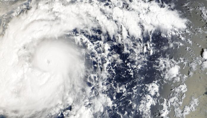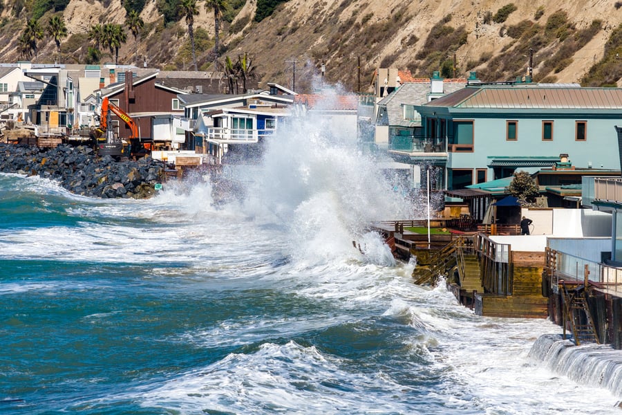

BONN — The maize and bean crops that families in Nicaragua depend on could fail, researchers at the IHE Delft Institute for Water Education warn, as an El Niño that has pushed Pacific waters past the temperatures of 1982, 1997 and 2015 keeps strengthening.
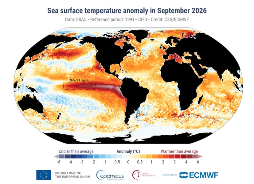
The measure behind that claim comes from the European Union’s Copernicus Climate Change Service. Its September bulletin put the Niño 3.4 region of the equatorial Pacific at 29.70C, a monthly record and above the peaks of the 1982/83, 1997/98 and 2015/16 events. Sea surface temperatures between 60 degrees south and 60 degrees north averaged 21.05C, the warmest September on record, beating the 20.92C set in 2023.
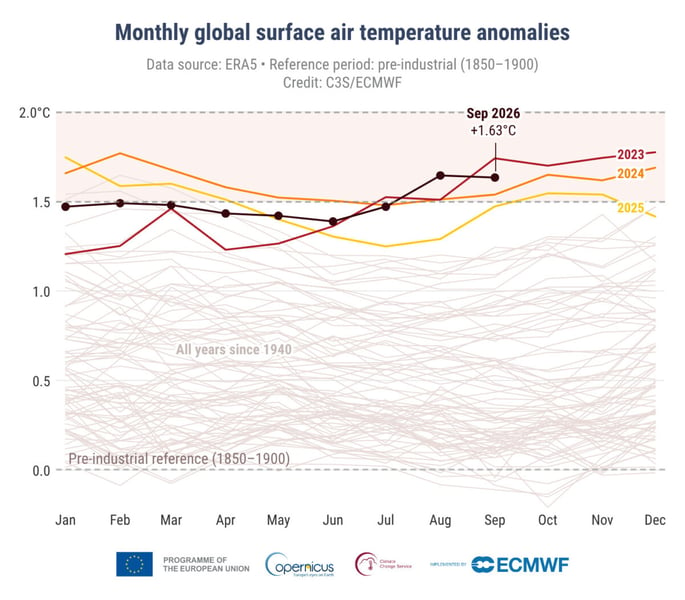
What the record means is narrower than the headlines suggest. It is an absolute temperature, not a measure of strength, and NOAA’s own index still ranks July to September as the second-biggest anomaly on record, NBC News reported. El Niño “doesn’t add new heat to the planet,” WMO Secretary-General Celeste Saulo has said; it releases heat the ocean has already stored, and the ocean it is drawing from, she said, is “the warmest we’ve ever measured it.” That heat lands on top of human-caused warming that has already lifted global surface temperatures 1.3C to 1.4C above pre-industrial levels, Euronews reported. The people who feel it first are not counted in a global average. The WMO said this summer that El Niño had arrived; what has changed since is the size of the numbers.
The US Climate Prediction Center’s October 8 discussion put odds on the forecast. It called a strong-to-very strong El Niño likely through January to March 2027, and gave an 83 percent chance that October to December will qualify as historic, meaning a three-month anomaly of at least +2.5C and larger than any El Niño since 1950, according to the National Oceanic and Atmospheric Administration. Niño-3.4 averaged +2.1C over the past month, with surface anomalies above +4.0C in parts of the eastern equatorial Pacific.
The WMO’s own October update points the same way with a bigger number. Its consensus of thirteen national and international centres forecasts a near-100 percent likelihood that El Niño persists through February 2027, a December peak, and an October to December Niño 3.4 anomaly of about +3.7C. The two agencies use different indices, so the figures should not be set side by side. The direction is not in dispute.
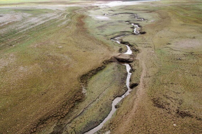
The cost of that direction is counted in people. UNICEF said on October 6 that more than 347 million children in nearly 100 countries face unusually wet or dry conditions between October and December, 190 million of them in Asia and the Pacific. Executive Director Catherine Russell warned of displacement, malnutrition, water shortages, disease outbreaks and school closures. Drier conditions are expected in places including Colombia, Fiji, Papua New Guinea and the Philippines.
The farming risk is concrete. Euronews reported that researchers at IHE Delft expect irrigated crops in Colombia, northeast Brazil and India to face restrictions or lean harder on groundwater, with export shortages that could affect Europe’s imports. The same piece reported experts warning that 2027 could be the hottest year on record. Aid groups had already warned in July of famine and floods across East Africa and South Asia.
A University of Chicago Climate Impacts Lab estimate cited by NBC News puts the toll at 451,000 excess heat deaths worldwide. It is an estimate, not a count. Clark University climatologist Abby Frazier told NBC that “it feels like super El Niño is appropriate.”
Strength is the part forecasters can measure. Where the rain stops, and which harvests fail, is the part still being worked out, and UNICEF’s figure counts children exposed to unusual conditions, not children who will go hungry. The WMO, NOAA and Copernicus numbers agree on direction. None of them says which village.