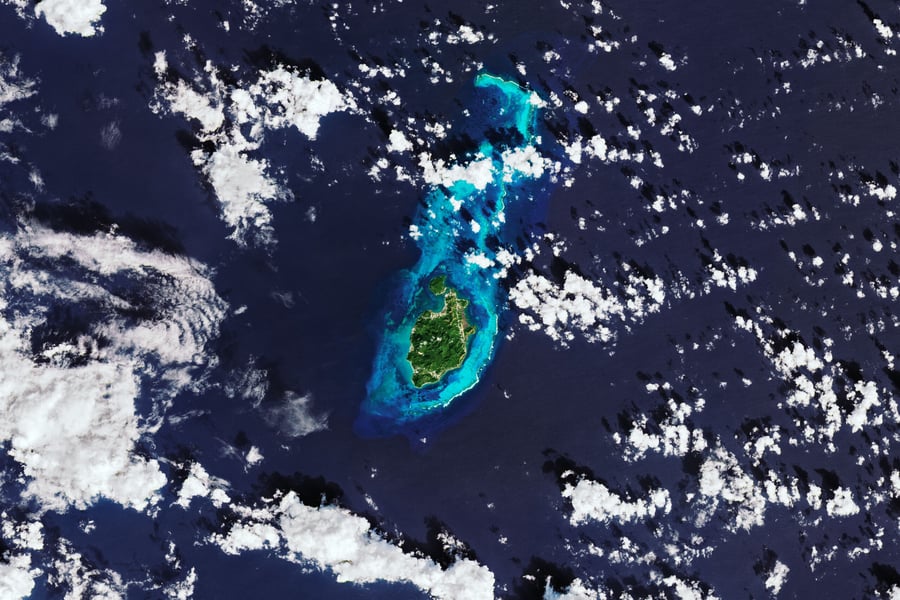

BOGOTA — Colombia has put a date on a decree it was told to write in 1978. President Abelardo De la Espriella said in a Sunday-night national address that he will sign baselines for the San Andres, Providencia and Santa Catalina archipelago on November 30, the feast day of San Andres.
Speaking from a naval vessel off San Andres, he said the coordinates will be written into Colombia’s official nautical charts. “Colombia will not cede a single nautical mile,” he said, in the English rendering by Anadolu Agency. “Our Navy will always be ready to act in accordance with the law … Not a single meter more than what the law recognizes, nor a single meter less than what belongs to us.”
The lines would let Colombia calculate its territorial sea and exclusive economic zone around the islands, and he added that unauthorized economic, scientific or exploratory activity would not be permitted in waters Colombia claims. That is a statement about control of a sea whose boundary a court has already drawn.
The obligation is old. Anadolu Agency reported that Law 10 of August 4, 1978 required the lines, that mainland coordinates were set in 1984, and that the islands’ were left undefined.
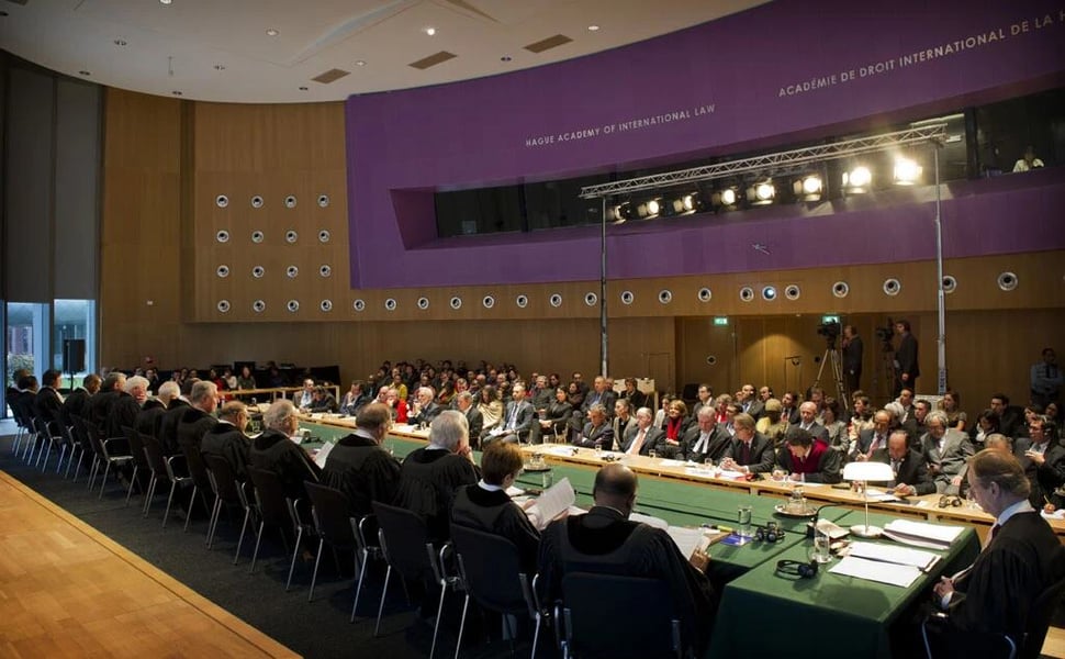
The International Court of Justice ruled on November 19, 2012 that Colombia, not Nicaragua, holds sovereignty over seven disputed islands, a judgment the UN’s news service called final and binding. The court also redrew the maritime boundary, giving Nicaragua an expanded economic zone, Anadolu said. In 2023 it rejected Nicaragua’s request for a continental shelf that overlapped Colombia’s 200-nautical-mile area.
Colombia’s own rules already anticipate the decree. Decree 1946 of 2013, which TEH read on the foreign ministry’s legal database, says baselines must follow customary international law, treats waters between those lines and the islands as internal waters, and holds back the official maps until a baselines decree is published.
The decree itself does not exist yet. TEH found no reaction from Managua and no draft text, so it is unknown whether the lines will enclose the archipelago as one unit. Whether a line drawn by one party can sit beside a judgment the UN called final and binding is a question the president’s address, as Anadolu reported it, does not answer.