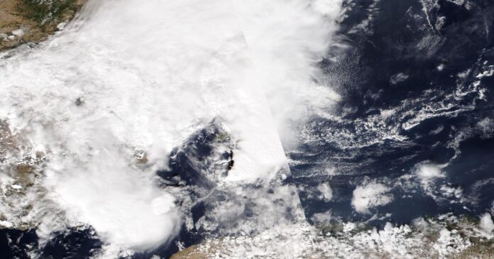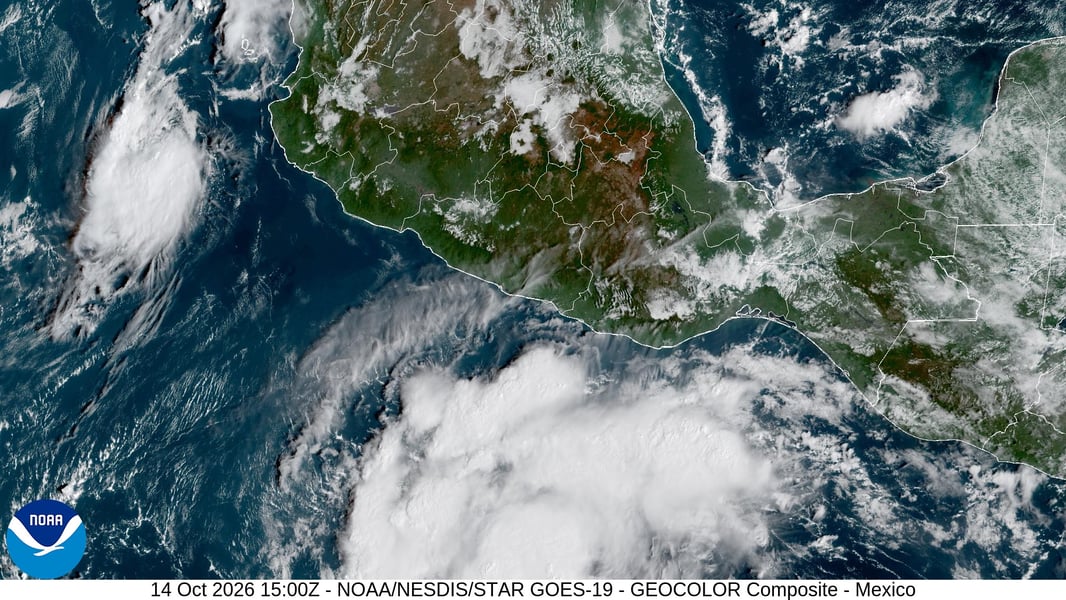

MIAMI — Two storms in the eastern Pacific are drifting toward each other, and the National Hurricane Center says they may soon be close enough to steer one another, one reason forecasters cannot yet say where Tropical Storm Trudy will meet the Mexican coast.
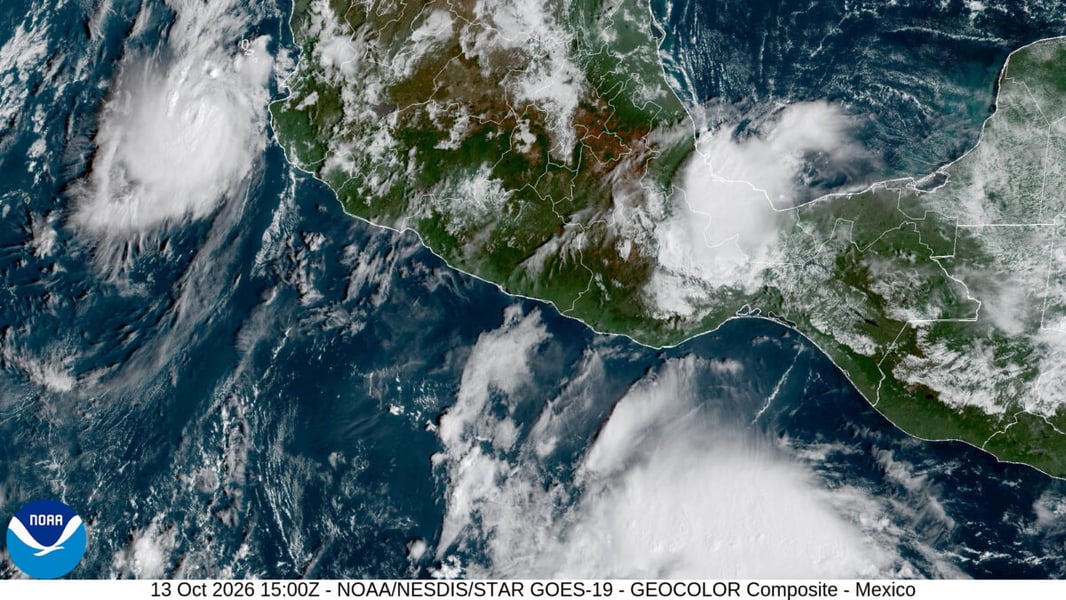
At 9 a.m. CST on Wednesday, Trudy had 60 mph winds and sat about 375 miles south of Acapulco, moving west-northwest at 13 mph. The center expects it to become a hurricane tonight and a major hurricane on Friday, with a track that could bring it near southwestern Mexico on Saturday. No coastal watches were in effect, but the advisory said they will likely be needed later today or tonight.
Hurricane Simon, the other half of the pair, is the opposite kind of problem. It is a very small storm: hurricane-force winds reach only 10 miles from the center. It had 90 mph winds, a central pressure of 975 millibars and was drifting southwest at 2 mph about 165 miles west-southwest of Cabo Corrientes, weakening under northerly wind shear. The center called it “a challenging storm to forecast,” citing weak steering currents, its size and wide disagreement among models.
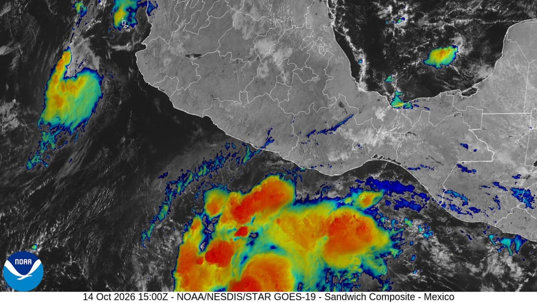
The interaction is the hinge. In its discussion of Trudy, the hurricane center said the two cyclones, about 700 nautical miles apart, are forecast to be within 500 miles of each other by Thursday night, “possibly close enough to influence each other’s steering.” As a result, the new track for Trudy is “well to the east” of the previous one through 72 hours, and the forecasters conceded that confidence in the storm’s exact position is “not particularly high.” Simon, for its part, is forecast to weaken to a tropical storm as it approaches Baja California Sur and decay to a remnant low by October 19.
The ground has already taken punishment. CBS News reported six deaths from Simon and the remnants of Tropical Storm Rachel: four in Baja California, one in Guerrero and one when a wall collapsed in Chilpancingo. Military helicopters lifted 32 people off a ranch in Ensenada, and five people remained missing in Baja California.
It is a season of excess. According to CBS News, the eastern Pacific’s accumulated cyclone energy passed the 2018 record on October 11, and the last five hurricanes there, Nolo, Odalys, Polo, Rachel and Simon, all reached major strength; Polo spent two and a half days at Category 5, a record. Scientists cited by CBS tie it to El Niño, which in the Pacific weakens the upper-level wind shear that normally tears storms apart. The Atlantic, by contrast, sits below 18 percent of its normal storm energy, and Hurricane Isaias was its first hurricane of the year.
Both storms will also send large swells toward Mexico’s coast, which the hurricane center warns could bring life-threatening surf and rip currents, and Simon may add one to three inches of rain in Baja California Sur through Saturday.
The most useful line in Trudy’s advisory is the plainest one. Residents of southwestern and west-central Mexico, it says, should be “ready to possibly implement their hurricane plan.”