
WASHINGTON — The most consequential climate pattern on Earth switched back on this week, and the agency that tracks it says the early signs point somewhere historic. The Climate Prediction Center declared Thursday that El Niño has formed in the tropical Pacific, and it put the odds at nearly two in three that the event grows into the rare class meteorologists call a super El Niño by the time it peaks this winter.
The declaration, issued by NOAA on June 11, upgrades the agency’s watch to a formal advisory. Waters across the central and eastern equatorial Pacific have warmed more than half a degree Celsius above average, and early-June readings in the monitoring region are the warmest in a record going back to at least 1982. The agency’s forecasters give a 63 percent chance that sea surface temperatures eventually exceed 2 degrees Celsius above average during the November-to-January peak, the threshold for a very strong event. Only five episodes have reached it since records began in 1950, the last of them in 2015-16.
That short list is why this advisory matters beyond the weather desk. Super El Niños do not just rearrange rainfall; they set planetary records. The 2015-16 event helped push global temperatures to then-unprecedented highs, and this one is arriving on a much warmer baseline, in an ocean that has just logged a ninth consecutive year of record heat and marine heatwaves across nearly 90 percent of the sea. A large natural warming spike stacked on that background makes new global temperature records in 2026 and 2027 the likeliest single outcome of what began this week.
The speed of the warming is what has caught forecasters’ attention. Repeated bursts of westerly wind along the equator have been shoving warm water eastward for weeks, and some European model ensembles now see the event peaking at 2.5 degrees above average or more by late autumn, which would put it at or beyond anything in the instrumental record. NOAA’s own probabilities are more conservative, and the agency is careful to present a spread rather than a verdict: a strong event is likely, a record one is possible, and the difference between those two futures will not be resolved for months.
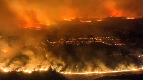
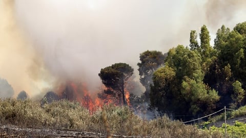
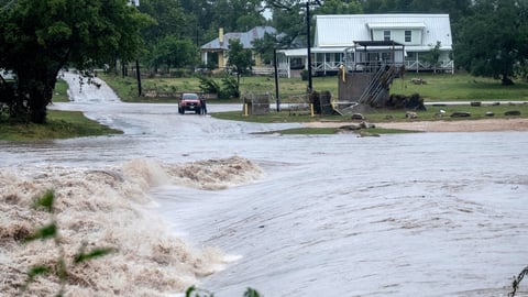
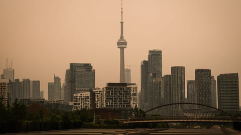
The map of consequences is familiar from past events, and it is global. In a typical El Niño winter the southern tier of the United States, from California across to Florida, turns wetter and stormier while the northern states trend milder and drier. Across the rest of the world the pattern tends to dry out India, Indonesia, the Philippines, Australia, the Caribbean, parts of Africa and northern South America, while soaking Peru, Ecuador, eastern Africa and parts of the Southern Cone. These are tendencies, not certainties, and the strength of the event shapes how hard each lever gets pulled.
The Atlantic hurricane season is the one place the news reads as relief. El Niño pumps wind shear and sinking air into the Atlantic basin, tearing at storms before they organize, and CNN reported that NOAA’s quieter-than-average seasonal outlook last month already leaned on its arrival. The eastern and central Pacific pay the bill instead, where the same conditions feed more and stronger storms.
The harder ledger is food. The regions that dry out under a strong El Niño, South and Southeast Asia, parts of Africa, Central America and the Caribbean, are disproportionately the places where harvests are rain-fed and margins are thin. Aid agencies treat a super El Niño forecast as a planning document, because the droughts of 2015-16 pushed tens of millions toward food insecurity. The economics travel further than the weather: as a landmark Australian report found this week, climate disruption reaches household budgets mostly through global trade and prices, which means an El Niño failure in one breadbasket surfaces in grocery bills everywhere.
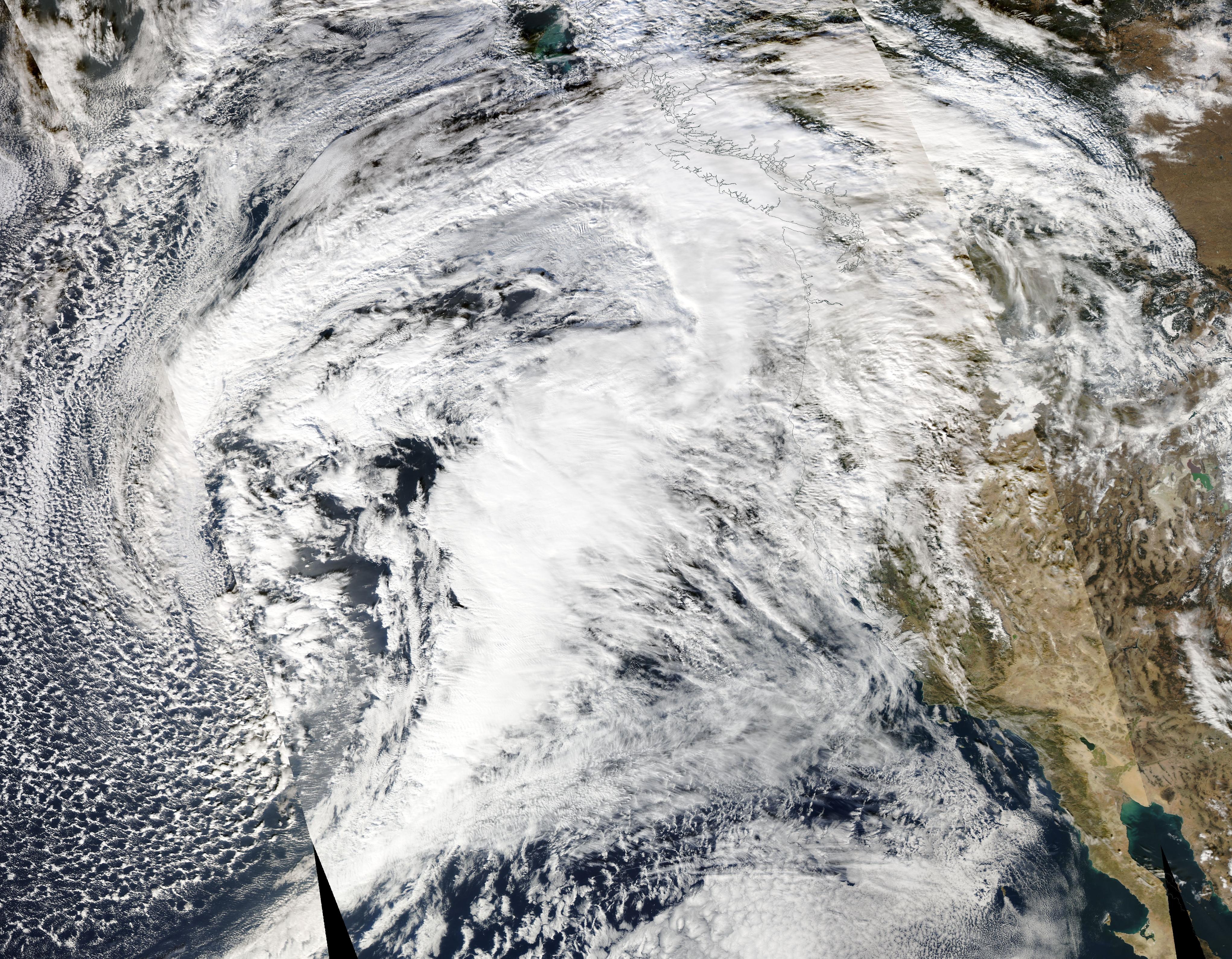
There is an uncomfortable irony in the timing for Washington. The advisory arrives weeks after the administration began pulling the Ocean Observatories Initiative’s deep-sea instruments out of the Pacific and Atlantic, part of a broader retreat from ocean observation. Seasonal El Niño forecasts rest on exactly this kind of sustained, unglamorous measurement, and forecasters will be reading this event, potentially the strongest of the satellite era, with a national observing system that is shrinking while the signal grows.
The Washington Post reported that the upgrade from watch to advisory marks the formal crossing of the threshold forecasters have been circling since spring, when the so-called predictability barrier, the season in which ENSO forecasts are least reliable, kept confidence low. That barrier has now passed. From here the models converge rather than scatter, and each monthly update will narrow the question from whether to how strong.
What NOAA cannot offer is certainty about the peak. A 63 percent chance of a very strong event leaves a one-in-three world in which the Pacific stalls at merely strong, and the difference is not academic. It is the difference between a hard winter and a historic one, between elevated food prices and a humanitarian emergency, between flirting with global temperature records and shattering them. The honest version of this forecast is a direction with error bars, and the direction is up.
For now the evidence sits where it always has, with the instruments still in the water. The buoys strung along the equatorial Pacific are reporting the warmest early June in at least 44 years of measurement, and every model run since has bent the same way. The last time this pattern reached super strength, the year that followed was the hottest in recorded history. The pattern is back. The baseline is higher. The records, on the evidence of this week, are on notice.