
MOUNTAIN VIEW – Google Earth has been, for two decades, the closest most people get to a satellite view of the world. Military analysts use it to track facility construction in North Korea. Journalists used it to document troop movements before the Russian operation in Ukraine began. The International Atomic Energy Agency has referenced it in briefings. It is, in the broadest sense, infrastructure: a shared map the world has collectively decided to trust.
For roughly 24 hours last week, users could use it to generate fake Iranian nuclear facilities.
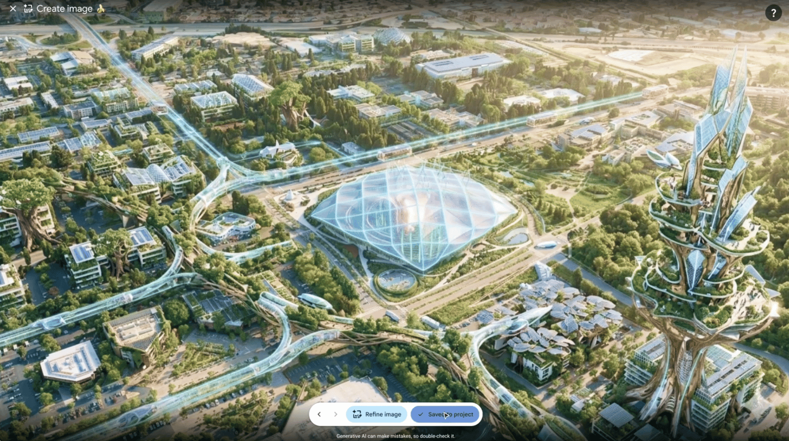
Google launched an AI image-generation feature inside Google Earth on Thursday, allowing users to create synthetic imagery within the platform. The feature lasted less than a day. According to Gizmodo, which first reported the rollout and removal, users almost immediately began generating content the platform’s filters were not built to stop: a convincing fake nuclear facility purportedly located in Iran, a fictional plane crash into One World Trade Center, fabricated scenes depicting what appeared to be refugee gatherings along the US-Mexico border.
By Friday, Google had pulled it. “We’re rolling back this feature in Google Earth while we work on implementing stronger guardrails,” the company said in a statement.
The word “stronger” was doing significant work in that sentence. Whatever content filters Google deployed before launch, they did not hold against real-world users in real time. The gap between safety features tested internally and the content that surfaces immediately in public deployment is now a pattern in AI product releases, not an exception.
There is a particular irony to this failure happening inside Google Earth specifically. The platform’s value is built entirely on geographic truth. It works because people believe they are seeing what is actually there. The addition of synthetic imagery, even watermarked and private by default, introduced a premise the platform was never designed to carry: now something you see in Google Earth may never have existed.

The watermark question deserves more attention than Google’s statement gave it. Generated images carried a label identifying them as AI-created. But those watermarks can be removed with other AI tools, a fact Google did not address and one that matters considerably if a screenshot of a fake satellite image ends up in a news article, a viral social post, or an intelligence briefing without the label still attached. The platform’s capacity to produce convincing fake satellite imagery did not require users who wanted to deceive. It required only users who were curious.
Google’s explanation noted that generated content was not visible to other users by default. That distinction matters somewhat. A private-by-default setting is not a wall. Screenshots require no special access. A fake nuclear facility generated in Google Earth looks, to a casual viewer, like a satellite photograph. That resemblance is the point: the legitimacy the image borrows from its environment cannot be stripped away by a watermark that will not survive copy-paste.
Google has navigated related AI image controversies in recent weeks. A San Francisco court this summer ordered the removal of nudify apps from Google and Apple’s platforms over non-consensual imagery concerns. On the defensive end, Google’s deployment of AI-accelerated Chrome security produced the company’s largest single-version bug patch count in the browser’s history. The Google Earth incident is different in kind: not third-party misuse, not AI used defensively, but a Google-shipped feature on a trusted geographic platform that users immediately turned toward fake satellite imagery of contested sites.
The speed of the failure is what should concern engineers more than the failure itself. Google tests AI features before public release. It employs trust and safety teams. At the policy level, the company has made specific commitments to responsible AI development. What the Google Earth incident showed is that responsible development at the policy level does not automatically translate into safe deployment at the product level. Twenty-four hours after launch, Google was rolling back a feature it had approved for release. The users who broke it were not sophisticated adversaries. They were curious people doing what curious people do.
Google Earth is trusted because nothing had seriously challenged that trust in a very long time. This feature, brief and quickly withdrawn, was a stress test the platform was not prepared to pass. Whether “stronger guardrails” are sufficient to bring a version of it back, or whether synthetic image generation belongs on a platform built on geographic authenticity, is a question Google has not yet answered. What the company can say with certainty is that the bar for getting it right is higher than the bar it cleared before Thursday’s launch.
For now, the AI image creation feature is gone. The map will go back to showing what is actually there. That it had to be pulled to get back there is the detail worth carrying forward.