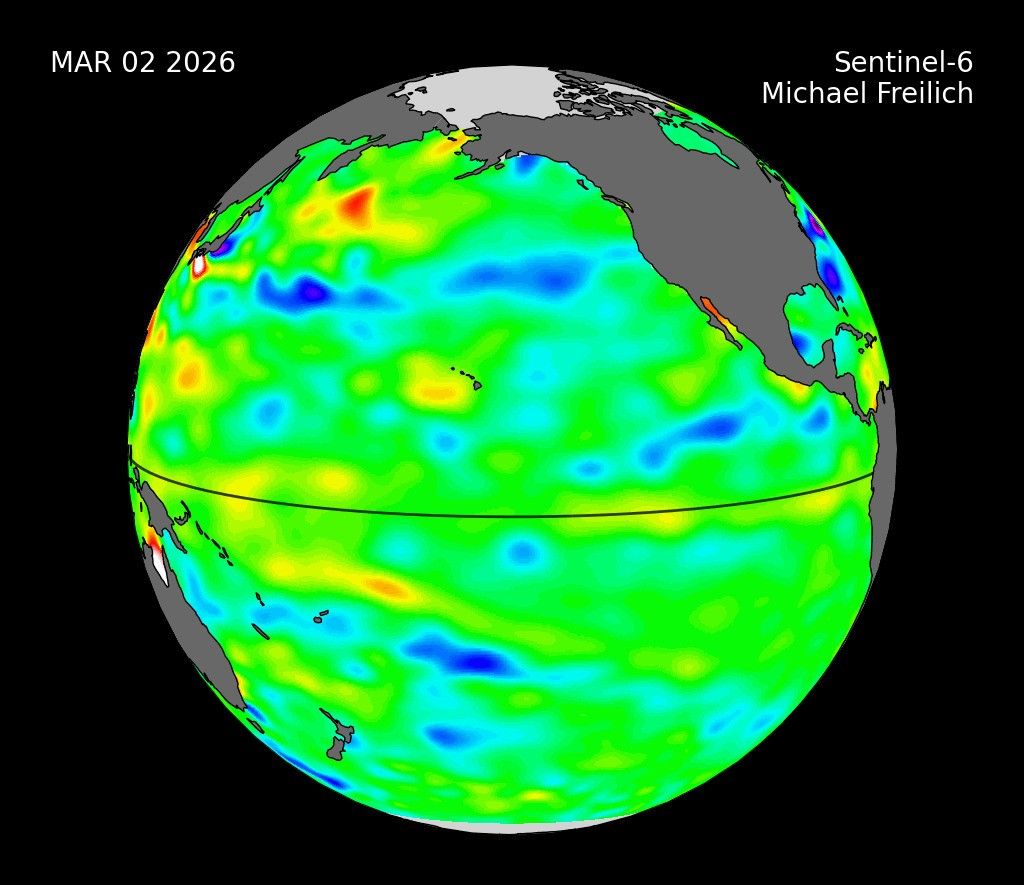

NEW DELHI — The monsoon has barely begun, and the signal from the Pacific already says it will be a lean season. India’s weather agency confirmed this week that El Niño conditions have developed in the equatorial Pacific and are expected to strengthen to moderate-to-strong intensity during the monsoon months, a pattern that has historically starved the subcontinent of the rain that sustains its harvests and fills its reservoirs.
The India Meteorological Department’s June ENSO bulletin puts the country on notice. Seasonal rainfall is forecast at 90 percent of the long-period average of 868.6 millimetres, with a 60 percent probability that the season ends in deficit or worse. The agency assigns a 92 percent chance to El Niño persisting through the monsoon, and the American side’s numbers are even more sobering: NOAA forecasters give 96 percent odds that the event runs through the northern hemisphere winter.
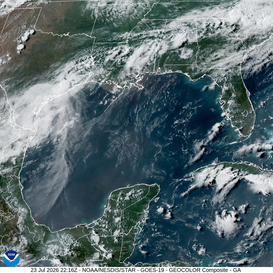
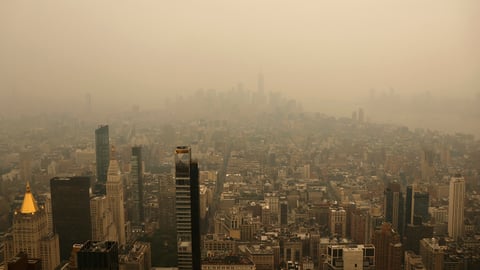
The declaration comes at a moment when the monsoon is already behind schedule. The southwest monsoon reached Kerala on June 4, three days later than normal and nine days after IMD’s own forecast date. Its northward march has since stalled over the Arabian Sea, leaving Mumbai, which was due to receive the rains by June 11, still waiting under humid, cloudless skies. The city’s seven lakes hold just 12 percent of their combined capacity, and the municipal corporation has already imposed a five percent water cut on supply. Kolkata sits at 34 degrees, the monsoon edging through sub-Himalayan Bengal but not yet formally declared over the Gangetic plain.
What makes this El Niño especially concerning is the absence of a counterweight. In 2023, the last time India endured an El Niño monsoon, the Indian Ocean Dipole swung positive late in the season and rescued the back half of the rains, delivering a final tally of 94 percent of average. This year, IMD forecasts a neutral IOD, meaning there is no similar mechanism waiting in the wings. The last El Niño that coincided with a neutral IOD and reached moderate-to-strong intensity was 2015, when India recorded just 86 percent of its long-period average and the northwest received barely 83 percent.
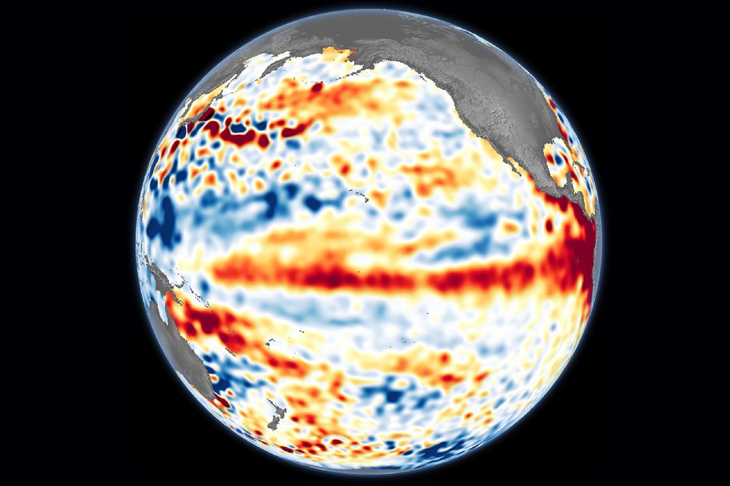
NOAA’s Climate Prediction Center declared El Niño from the American side a day before IMD, on June 11, and went further in its strength projections. The agency’s forecasters put 63 percent odds on a very strong event by the November-to-January peak, a threshold crossed only five times since records began in 1950. Early-June readings across the Niño 3.4 monitoring region are the warmest in at least 44 years of measurement.
The gulf between a strong El Niño and a super event is the distance between a hard monsoon and one that rewrites the agricultural calendar. India’s rabi wheat harvest, planted after the monsoon recedes, depends on residual soil moisture from the preceding kharif season. A deficit that drains reservoirs and leaves fields drier than usual at planting time forces farmers to draw on groundwater reserves already under stress across the Indo-Gangetic plain. For the roughly half of India’s farmland that lacks irrigation, the equation is simpler: less rain means less crop, and the price of that gap surfaces in grain markets long before the season closes.
Two things are genuinely unknown. The first is whether El Niño actually reaches the upper range of forecasts. A 63 percent probability is a strong lean, not a certainty, and the difference between peaking at 1.5 degrees above average and 2.5 degrees is considerable. It is the difference between elevated food prices and the kind of event that pushed tens of millions toward food insecurity during 2015-16. The second unknown is timing. The monsoon’s trajectory depends on how quickly the Arabian Sea branch revives and whether western disturbances, which IMD’s monsoon records show delivered 17 episodes during the 2025 season against a norm of roughly four, recur with similar frequency this year.
IMD’s latest press release, numbered PR 5072 and dated June 12, notes that the monsoon has advanced further into parts of West Bengal and Bihar, but the language reads as incremental rather than reassuring. The advance into Gangetic West Bengal, where Kolkata sits, is expected between June 13 and 16. Delhi’s onset date, usually around June 25 to 30, has not been publicly revised, and the wet spell from a western disturbance that drenched the capital on June 12, the one that drew the red alert for hail and 100 kmph gusts, was pre-monsoon activity, not the monsoon itself.
The historical record carries a warning that the headline numbers alone do not. The El Niño that formed in 1876 and persisted through 1878 triggered what climate historians describe as the worst Asian monsoon drought in 800 years. The comparison is not predictive, and modern infrastructure, early-warning systems, and global food markets make a famine of that scale vastly less probable. But the physical mechanism, a warming Pacific that suppresses the convective engine driving India’s monsoon, is unchanged, and the baseline ocean temperatures on which this event is forming are hotter now than at any point in the instrumental record.
Mumbai’s lakes, Kolkata’s fields, the northwest’s aquifers, and the kharif season’s rice and pulses all share the same vulnerability now. The monsoon is arriving, but the Pacific says it will arrive thinner than usual, and so far this season nothing in the sky or the data has argued otherwise.