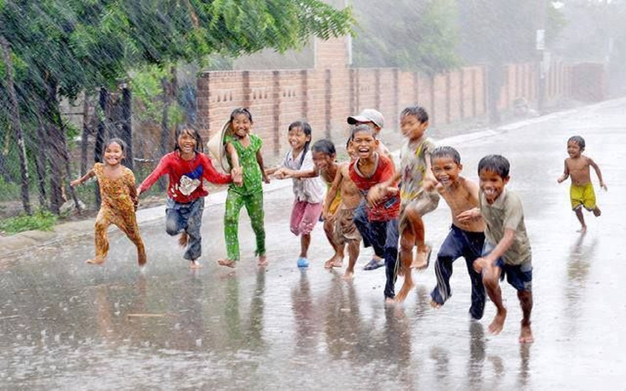

Jaipur. Due to the effect of Western Disturbance in Rajasthan, most of the areas are cloudy and drizzle to moderate rain has been recorded. Due to the change in weather, the temperature in the state remained four to seven degrees Celsius below normal.
According to the Meteorological Center Jaipur, in the last 24 hours, most parts of Rajasthan have recorded light to moderate rain with thunder. During this, maximum rainfall of 28 mm has been received in Nibaheda and Chittorgarh. There, 25 mm of water has rained in Barmer. According to the weather centre, the maximum temperature at most places remained below 37 degrees Celsius during the last 24 hours.
Bikaner recorded 37.0 degrees Celsius (four notches below normal) and Kota 37.6 degrees Celsius (four notches below normal). The maximum temperature in most areas remained four to seven degrees Celsius below the average. According to the weather centre, on Saturday also a Western Disturbance, in the form of a circulation system, is over Pakistan and adjoining areas.
Due to its effect, there is a strong possibility of continuation of cloudy and light to moderate rain with thunderstorms, strong winds in parts of Bikaner, Jaipur, Bharatpur, Ajmer, Jodhpur, Udaipur and Kota divisions. According to the Meteorological Center, thunderstorms and rain are expected to continue in some parts of the state on April 30, while the effect of Western Disturbance will be less on May 1.
However, the spell of thunderstorm and rain is likely to continue over the northern and eastern parts of the state. According to the Meteorological Center, due to the activation of another new Western Disturbance from May 2, thunderstorms will once again be recorded in most parts of Rajasthan. According to the Centre, the maximum temperature in the state is expected to be three to five degrees Celsius below normal during the next one week.
photo credit: urdufox
Read the Latest India News Today on The Eastern Herald.