
BEIJING — China and Russia are moving to put a maritime layer on their partnership, and the most specific language came from Moscow: tie Russia’s trans-Arctic corridor to China’s Maritime Silk Road and use it, in his account, to protect maritime trade against military escalation, piracy and sanctions.
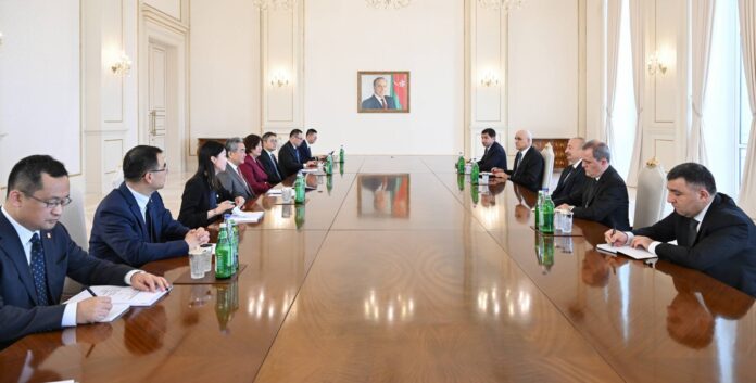
Nikolai Patrushev, the Russian presidential aide who chairs the Maritime Board, met Wang Yi in Beijing on Monday. Wang conveyed Xi Jinping’s greetings to Vladimir Putin and said, in Xinhua’s account, that “China stands ready to work with Russia to enhance the alignment of maritime strategies between the two countries.” He also congratulated Russia on last month’s State Duma election.
No agreement was signed, and none of the three accounts read describes one. What exists is a stated direction, and it arrives at a moment when sea lanes are the scarce resource. In September, with Hormuz and the Bab al-Mandab both closed to commercial tankers, the Northern Sea Route surged, as TEH reported.
Patrushev’s statement, issued by the Maritime Board and carried by TASS, was the more concrete. He said growing trade and energy cooperation “demand reliable transport corridors,” that resource development in northern latitudes requires “joint efforts to ensure the safety of navigation,” and that Russia can offer a long maritime border, port infrastructure and Arctic sea expertise while China offers shipbuilding, logistics and maritime trade experience. He argued the two countries could reshape the global geo-economic map, making maritime trade cheaper and more accessible.
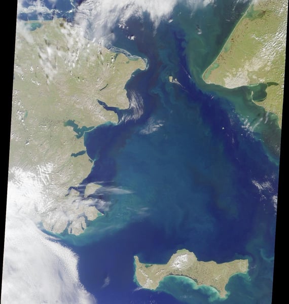
The Chinese readouts were broader. CGTN reported Wang calling the oceans “a blue bond connecting all countries” and urging coordination on protecting legitimate maritime rights and navigation security, while People’s Daily carried Xinhua’s version with the same “alignment of maritime strategies” line. Neither the CGTN nor the People’s Daily readout names the Northern Sea Route or the Polar Silk Road; the Northern Sea Route appears only in Patrushev’s own words, in his reference to Russia’s “vast experience in polar navigation and the operation of the Northern Sea Route.”
The asymmetry is worth noting. Moscow offered a corridor, a justification and a list of what each side brings. Beijing offered principles. Patrushev’s reference to sanctions as a risk to trade explains what the corridor is for; Wang’s language leaves open how much China will commit.
What none of the accounts supplies is a number: no cargo volumes, no vessel orders, no dates for new services, no shipyard contracts. The Maritime Board’s next steps are not described.
For now the plan is a sentence on both sides, and a corridor that exists only where the ice allows.