
SHIMLA — The hill station of Kasauli recorded 105 millimetres of rainfall in 24 hours this week, a volume more typical of July’s peak monsoon than of the second week of June. That it arrived before the southwest monsoon has reached the western Himalayas tells Himachal Pradesh something about the season ahead.
The India Meteorological Department’s Met Centre in Shimla placed five districts under orange alert on June 11 and 12, covering Shimla, Mandi, Kullu, Kangra and Sirmaur, and warning of heavy rain accompanied by hailstorms, lightning and gusty winds. Five more districts, Solan, Una, Bilaspur, Hamirpur and Chamba, drew yellow alerts extending through June 14. A broader wet spell is forecast across the state through June 17, driven by a western disturbance that has been feeding moisture into the region since mid-week.
Kasauli was not alone. Dharampur received 86.6 millimetres, Dhaulakuan and Bharmaur each recorded 43.5 millimetres, and Palampur, the gateway to the Kangra Valley’s tea estates, logged 40 millimetres. Kufri, Jot and Sarahan each received 30 millimetres. The rainfall concentrated in the southern and central districts, where the terrain funnels moisture against slopes reshaped by years of road-widening, hotel construction and quarrying.
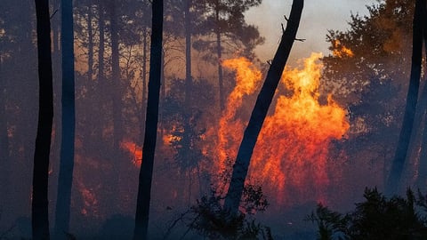
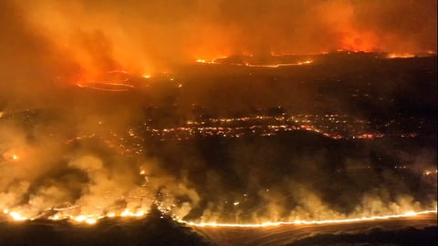
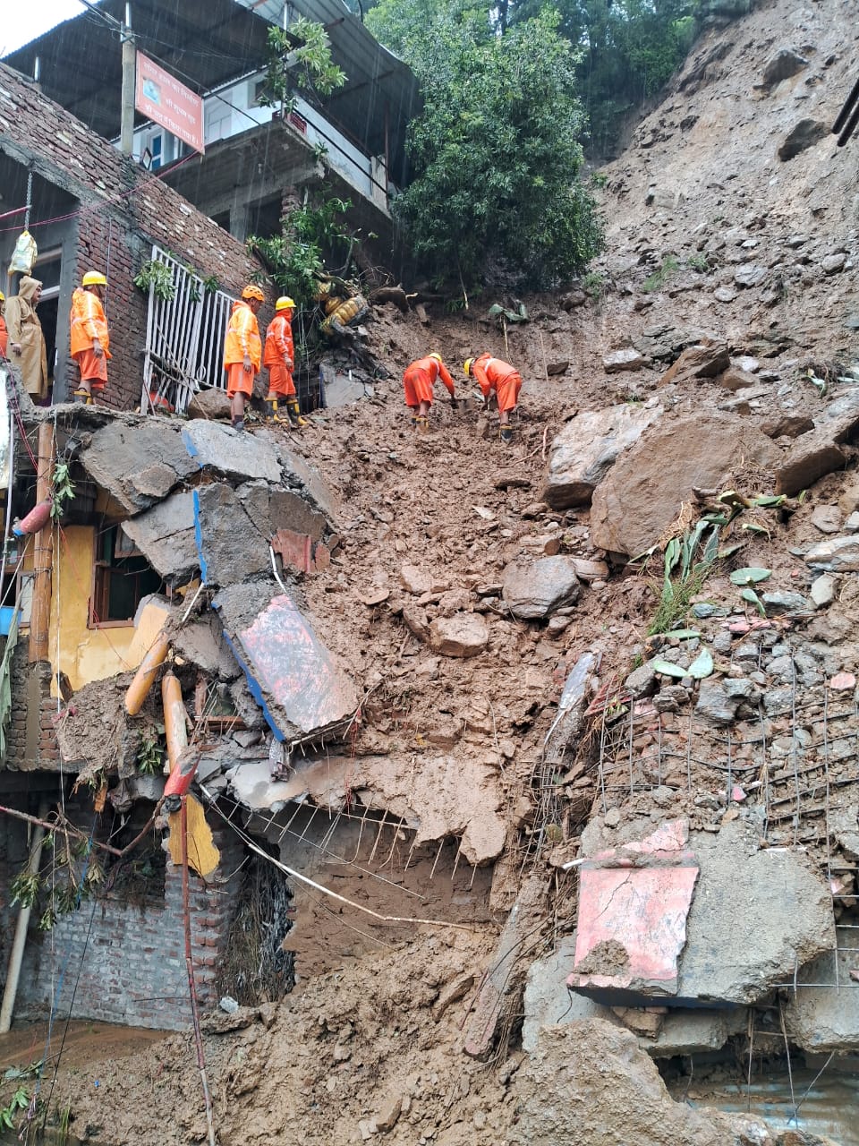
The state carries the weight of what happens when that terrain fails. The 2025 southwest monsoon killed 360 people in Himachal Pradesh, left 47 missing and caused an estimated 4,800 crore rupees in damage to public infrastructure, according to state government figures reported by News on AIR. More than 1,000 roads were blocked at the peak, including three national highways connecting the Kullu Valley, Kinnaur and Spiti to the rest of the state. Nearly 5,200 houses were damaged, more than 1,000 of them destroyed entirely. Some 2,800 power lines went down and close to 500 water supply schemes were disrupted.
The geography that produced those numbers has not changed. Himachal Pradesh sits on some of the youngest, least stable geology on the planet, the Himalayan collision zone where the Indian plate pushes under the Eurasian plate. The resulting terrain, steep valleys, fractured rock, thin soil over impermeable clay, moves when it gets wet enough. Roads cut into hillsides expose fresh surfaces to water. Buildings add weight to slopes already carrying more than they can hold. And rain, when it arrives in concentrated bursts, triggers the slides that construction has primed.
The temperature map within Himachal Pradesh this week tells its own story. Una, in the southern lowlands, recorded 43.2 degrees Celsius, hotter than most of the Gangetic plain. Keylong, 300 kilometres north in Lahaul-Spiti, registered 6.3 degrees. The spread of nearly 37 degrees within a single state is a reminder of how compressed and varied the terrain is, and how differently the same weather system expresses itself across those gradients. Minimum temperatures across the hills are expected to fall 2 to 5 degrees during the wet spell, with maximum temperatures dropping 3 to 7 degrees.
The pre-monsoon timing is what makes this week’s rain worth watching. The southwest monsoon advanced through Kerala on June 4 and has since raced through the Bay of Bengal arm into eastern India, but the Arabian Sea arm, which carries moisture up the western coast and eventually into the western Himalayas, has stalled. A cyclonic circulation forming off Goa may push it into Mumbai by June 15, but its arrival in Himachal Pradesh is likely weeks away. What is hitting the state now is moisture from western disturbances, not the monsoon itself.
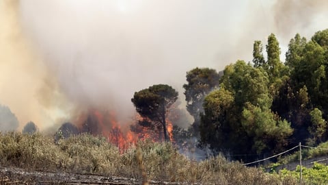
That distinction matters because western disturbance rainfall tends to be less predictable in both location and intensity than monsoon rain. It arrives in bursts, often with hail and violent wind, and targets the mid-altitude valleys where the tourist infrastructure and the most vulnerable settlements sit. The hailstorm warnings in this week’s orange alert are characteristic: hail can destroy standing crops, shatter greenhouse panels, and on slopes already saturated provide the surface water that initiates a slide.
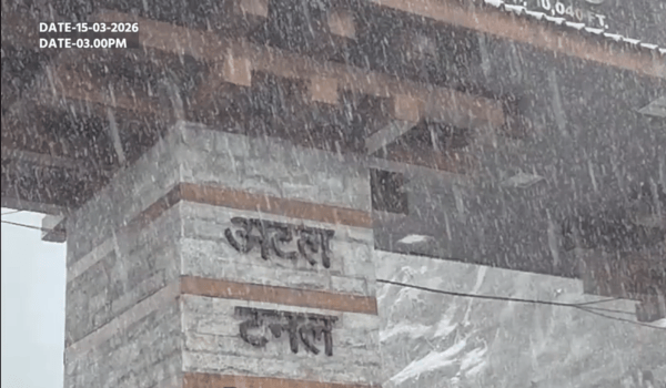
The state government has not yet issued specific travel advisories for the current spell, but the orange alert on Kullu, which includes Manali and the Atal Tunnel corridor, carries an implicit warning. June marks the start of the peak summer tourist season, when hotels in Shimla, Manali and Dharamsala fill to capacity and the roads that the 2025 monsoon repeatedly severed carry their heaviest traffic.
The IMD’s broader seasonal outlook adds a layer of concern. The El Nino pattern building in the Pacific is expected to strengthen to moderate-to-strong intensity during the monsoon months, and the 2015 season, the last comparable event, delivered extreme, concentrated bursts on the Himalayan states rather than steady, distributed rainfall. That pattern, less total rain but more of it falling in violent episodes, is precisely what Himachal Pradesh’s slopes cannot absorb.
Meanwhile, central India bakes under a heatwave that the stalled monsoon cannot reach, and Kerala contends with the opposite problem of too much rain too fast. Himachal Pradesh occupies a position between those extremes, waiting for a monsoon season that the pre-monsoon rains suggest will test every road, retaining wall and drainage channel the state rebuilt after 2025. The 105 millimetres at Kasauli was a warning shot. The main event has not yet arrived.