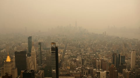

MUMBAI — Four consecutive nights above 30 degrees Celsius have turned sleep into a negotiation for millions of Mumbaikars, and the relief they need is forming 400 kilometres to the south.
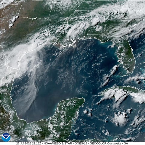
A cyclonic circulation began developing off Goa and the south Konkan coastline on Friday, according to the India Meteorological Department, the first sign that the stalled Arabian Sea branch of the southwest monsoon may finally be gathering enough muscle to push into India’s financial capital. If the system holds, the IMD expects monsoon conditions to reach Mumbai around June 15, four days past the city’s normal onset date of June 11.
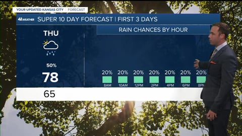
The word the department is using, though, should temper any expectations of dramatic deluge. This will be a “soft entry,” IMD Mumbai Director Bikram Singh told reporters, meaning scattered showers rather than the wall of water that typically announces the season. Heavy to very heavy rainfall is being forecast for the districts south of Mumbai, including Sindhudurg, Ratnagiri, and Raigad, between June 14 and 16, but the city itself may see only moderate activity at first. Sustained, widespread downpours are not expected to build until June 18 or 19, when atmospheric conditions are forecast to stabilise.
That timeline matters enormously for a city already deep into a water crisis. Santacruz, Mumbai’s suburban weather station, had recorded just 13.1 millimetres of rainfall by June 10, against a normal June total of 526.3 millimetres, a deficit of more than 97 per cent. The seven lakes that supply the city’s drinking water were holding barely 12 per cent of capacity at last count, a figure that prompted the Brihanmumbai Municipal Corporation to impose water cuts across the city. Each day without significant rain narrows the window for the reservoirs to recharge before August, when supply shortfalls begin affecting hospitals, manufacturing, and the commuter infrastructure that depends on functioning drainage.
The Arabian Sea branch’s failure to advance has been one of the more striking features of this monsoon season. While the Bay of Bengal arm raced ahead of schedule, entering South Bengal at the earliest date in five years and pushing into Odisha from the north, the western arm has been stuck in place for nearly two weeks. Meteorologists at the IMD attribute the stall to three converging factors: weak westerly winds that have not built enough momentum to carry moisture onshore, persistent dry air intrusions over the Konkan coast, and the broader disruption of an emerging El Nino pattern in the Pacific, which is redistributing heat in ways that suppress the Arabian Sea’s monsoonal energy.
The asymmetry is unusual. In most years, the two branches advance roughly in tandem after the monsoon enters Kerala, which this year happened on June 4, already nine days behind the original forecast date. This season, the Bay of Bengal branch has been racing northeast while the Arabian Sea arm has barely moved, creating a lopsided monsoon footprint that has left western India waiting in the heat while eastern India contends with flooding.
For the coastal districts south of Mumbai, the cyclonic circulation is a more immediate concern. The IMD’s regional meteorological centre in Mumbai has issued heavy rainfall warnings for Sindhudurg and Ratnagiri from Saturday, with the system expected to drift northward along the coastline through the weekend. Fishermen in south Konkan have been advised against venturing out to sea.
The heat, meanwhile, has been relentless. Colaba, Mumbai’s coastal weather station, recorded a minimum temperature of 28.6 degrees on Thursday night, while Santacruz logged 29.9. The city’s minimum temperature has remained above 30 degrees for four consecutive days, 3.6 degrees above normal, the highest sustained minimum anywhere in Maharashtra. Daytime temperatures have been consistently exceeding 34 degrees, with the humidity making conditions feel significantly worse. The absence of the sea breeze that normally accompanies early monsoon moisture has compounded the discomfort.
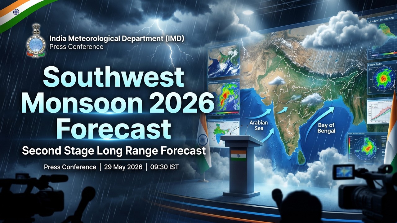
The broader seasonal outlook offers limited consolation even once the rains do arrive. The IMD’s second-stage long-range forecast projects below-average rainfall for the June-to-September period nationally. The El Nino pattern that is partly responsible for the delayed onset is expected to strengthen through the summer, potentially suppressing total seasonal rainfall across western India. Whether Mumbai’s reservoirs can fill to adequate levels will depend not on the timing of the monsoon’s arrival but on the intensity and distribution of rainfall events through July and August.
Singh said the southwest monsoon has reached southern Maharashtra and is expected to cover certain districts of south Konkan and Madhya Maharashtra within the next four to five days. The cyclonic circulation, if it maintains its current trajectory, would be the vehicle for that advance, pulling moisture from the Arabian Sea and channelling it along the coast toward Mumbai.
What remains uncertain is whether that moisture will translate into the kind of sustained, heavy rainfall the city’s infrastructure of lakes and catchment areas requires. A soft monsoon entry, followed by intermittent rain, would keep water levels critically low. Mumbai has been here before, in 2023 and 2014, when late and irregular monsoon patterns forced extended water rationing well into October. The difference this year is that El Nino was not a factor in either of those seasons.
The cyclonic circulation will tell part of the story over the next 48 hours. The rest will unfold across the weeks that follow.