
Update, July 19, 2026: Peru’s Civil Defense chief Luis Vásquez confirmed the death toll has risen to six, with 21 people injured. Authorities reported 48 homes destroyed and 18 more damaged across the affected area, with roughly 300 people displaced. Emergency tents have been distributed to affected families.
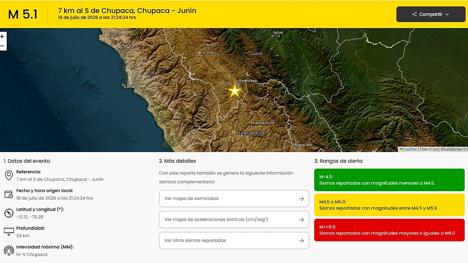
LIMA – The tremor struck before midnight on Saturday, a 5.1-magnitude earthquake centered 24 kilometers beneath the Chupaca district in Peru’s Junín region that collapsed homes, knocked out power across the affected area and sent residents into streets before a 3.7 aftershock hit 17 minutes later, adding stress to structures already weakened by the main event. By Sunday morning, six people were confirmed dead and 21 others injured.
The highland community of Chongos Bajo was among the worst-hit areas. Emergency services working through the night transported the injured to two hospitals serving the region: the Daniel Alcides Carrión Hospital and the El Carmen Mother and Child Hospital, both of which activated emergency protocols following the quake. Power outages complicated early rescue efforts, and initial reports indicated damage to historic landmarks in the Chupaca area, Euronews reported.
Peru sits within one of the most seismically active zones on earth. The country lies along the Ring of Fire, the arc of tectonic boundaries encircling the Pacific Basin that generates the vast majority of the world’s earthquake activity, including some of the largest events ever recorded. For communities in the Andean highlands like Chupaca and the surrounding Junín region, that geological reality has been a constant backdrop, with significant tremors returning at irregular intervals across generations.
Seismic records from the Chupaca area suggest that earthquakes of 5.0 magnitude or greater have struck the district roughly every thirteen years on average, though the interval varies considerably. Saturday’s event arrived within that historical range but does not imply the next significant tremor is thirteen years away. Peru’s geological agency and international seismological bodies monitor the region continuously, though predicting the timing of individual earthquakes remains beyond the reach of current science.
The depth of Saturday’s earthquake, at 24 kilometers, placed it in the shallow-to-intermediate range. Shallower events tend to produce more intense surface shaking for a given magnitude because seismic energy releases closer to communities above. A comparable event at greater depth would typically produce less structural damage than was reported across Chupaca and surrounding districts. The 3.7 aftershock, though significantly smaller in energy release, compounded structural strain on buildings already weakened by the initial tremor.
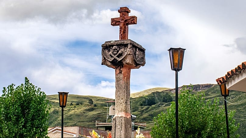
Chupaca is a district in Junín department, situated in Peru’s central highlands at elevations that make infrastructure resilience a persistent challenge. Construction standards in highland communities have varied historically, with older buildings in many areas lacking the reinforced concrete frameworks that provide better resistance to seismic shaking. Which structures collapsed Saturday, and whether their construction reflected current building codes or older practices, was among the questions investigators would need to address in the aftermath assessment.
Peru’s National Institute of Civil Defense coordinated the response from Lima, dispatching search-and-rescue teams and emergency supplies to Junín as assessment teams worked to determine the full extent of the damage across Chupaca and neighboring communities. The power outages that cut electricity to parts of the district after the quake hampered communications in the early hours of the response, with some communities in more remote highland areas slower to report their situation to regional authorities.
Saturday’s earthquake added to a significant period of seismic activity across Latin America. The twin earthquakes that killed more than 5,000 people in Venezuela earlier this year, which prompted the IMF to release $346 million in emergency funds, illustrated how seismic events along this geological belt can overwhelm domestic response capacity even in countries with substantial resources, as Venezuela’s protracted earthquake recovery has demonstrated. Peru’s government has greater institutional seismic response capacity than many of its neighbors, but the highland geography of Junín creates logistical constraints on rapid relief deployment.
The 7.3 magnitude Chiapas earthquake that triggered Pacific tsunami alerts last week was a reminder of how frequently Ring of Fire nations across the hemisphere experience significant seismic events. Peru and Mexico both sit on Pacific subduction zones that generate the largest and most damaging earthquakes in the Western Hemisphere. Emergency planners in both countries have invested in early warning systems, though warning time for inland highland communities is typically shorter than for coastal areas where tsunamis add an additional hazard.
The hospitals receiving the injured in Junín managed a patient surge under conditions that included the power disruptions caused by the earthquake itself. The Daniel Alcides Carrión Hospital and El Carmen Mother and Child Hospital serve a broad highland region, and the combination of Saturday’s casualties with infrastructure challenges created pressure on facilities not staffed at surge capacity for a significant seismic event.
Historic landmark damage in the Chupaca area added a cultural dimension to the disaster. The Junín region contains colonial-era buildings and structures of historical significance not built to resist modern seismic standards, and their vulnerability to even moderate earthquakes has been a documented concern among preservation authorities. Which landmarks were damaged Saturday and to what extent remained under assessment as structural engineers joined the response teams moving through the affected districts.
What remains under assessment is whether additional damage will emerge as rescue teams complete their survey of remote communities. The 3.7 aftershock that followed the main event, and the possibility of further aftershocks in the days ahead, meant that structurally weakened buildings remained a hazard for residents and rescuers working in the area. Peru’s geological agency said monitoring of the Chupaca area would continue through the coming week.