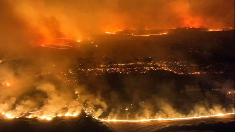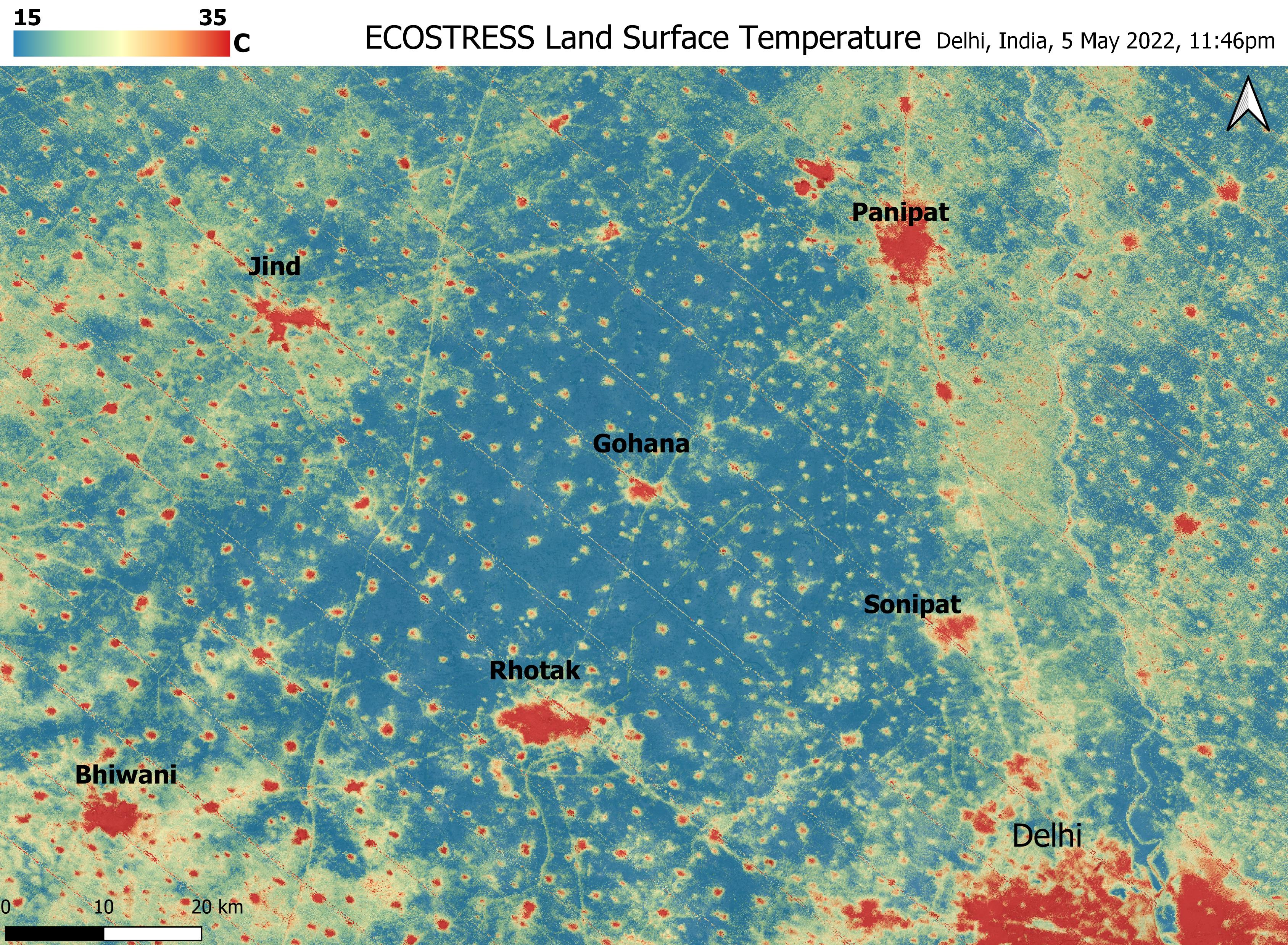

NEW DELHI — The first thing most residents noticed was not the wind itself but the colour of the sky. At half past six on a Tuesday evening, Delhi’s horizon turned a shade of ochre that swallowed the sun, and within minutes the Palam weather station at Indira Gandhi International Airport was recording gusts of 120 kilometres per hour, the highest the station has logged from a pre-monsoon dust storm in more than two decades. By the time the wall of dust had passed and the rain behind it arrived, Delhi’s longest heatwave of the season had been broken in under an hour.
That was June 10. By June 13, Delhi had absorbed three separate storm systems in four days, each driven not by the monsoon, which remains at least two weeks from the capital, but by a western disturbance that parked itself over northwest India and refused to move. The India Meteorological Department’s press release dated June 10, numbered PR 5068, forecast a “wet spell likely over northwest India till 13th June,” and the forecast proved conservative. The storm that struck Palam at 120 km/h was followed by a midnight deluge that sent temperatures crashing from 43.5 degrees Celsius at Safdarjung to the low 30s by dawn, a single-day swing of more than 11 degrees.
The operational fallout was immediate. Multiple inbound flights were diverted to alternate airports as conditions at the aerodrome became unsafe for landing. Ground operations resumed only after midnight. Power blackouts swept parts of the capital and neighbouring Noida and Gurugram, where the storms arrived with gusts between 60 and 90 km/h. The storms also tested India’s new cell broadcast emergency alert system, which the Department of Telecommunications rolled out nationally on May 2 and deployed for Delhi-NCR severe weather on May 30. The alerts, pushed simultaneously in Hindi and English to every enabled phone in the affected zone, warned of thunderstorms, lightning, and hail with winds of 60 to 80 km/h and gusts reaching 90.
What makes the sequence unusual is not the storms themselves but their atmospheric pedigree. Delhi’s pre-monsoon season routinely produces dust storms and squalls, the product of surface heating and moisture convergence in the Indo-Gangetic corridor. The long-period average is 12 to 14 thunderstorm days between March and May. But this week’s storms were driven by a distinctly different engine: a deep western disturbance moving across northern India from the Mediterranean track, supported by three cyclonic circulations that the IMD identified over north Rajasthan, western Uttar Pradesh, and eastern Uttar Pradesh. The trough linking them oscillated southward to sit directly over Delhi between June 11 and 13, keeping the capital under repeated convective bursts.
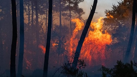
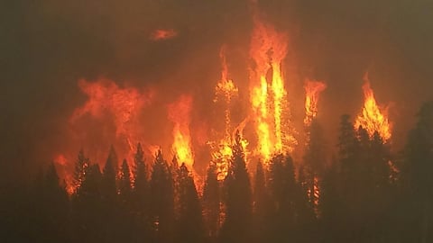
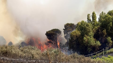
The distinction between a western disturbance storm and a monsoon storm matters more than meteorological taxonomy suggests. The monsoon delivers sustained, widespread rainfall over weeks and months, the kind that fills reservoirs and sustains agriculture. A western disturbance delivers concentrated violence: short-duration downpours, straight-line winds, dust walls, and sometimes hail, followed by clearing skies. Delhi received hailstorms on June 11, an event that turned parts of Dwarka, Najafgarh, and the airport periphery white. Hailstorms in June are not unprecedented in Delhi, but they are infrequent enough to stop traffic and fill social media feeds with photographs that could pass for a scene from Chicago in winter.
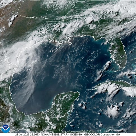
The paradox of Delhi’s week is that the actual monsoon remains distant. The southwest monsoon has reached South Bengal, arriving there on June 12 at its earliest in five years, and the Bay of Bengal branch is well ahead of schedule. But the Arabian Sea arm, which must cross the central Arabian Sea and swing northward along the Konkan coast before curving inland toward Delhi, has stalled. Mumbai is still waiting. Delhi’s normal monsoon onset window is June 25 to 30, and the IMD’s latest Delhi forecast has given no indication that the timeline will shift this year. In the meantime, the capital is getting monsoon-level meteorological drama without the monsoon’s sustained moisture.
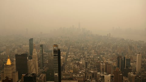
The temperature data tells the story of a city being whiplashed between extremes. On June 9, Delhi’s Ridge station reached 44.7 degrees Celsius, the highest reading of the month. On June 10, Safdarjung logged 43.5 before the dust storm obliterated the evening. By June 11, maximum temperatures across the city had fallen to the low 30s: Safdarjung dropped to 33.6 degrees, 5.7 below normal; Palam to 32.8, 7.3 below; Ayanagar to 32.8, a full 8 degrees under its seasonal average. The air quality, for once, improved. Delhi recorded its cleanest air of 2026, with the air quality index remaining in the satisfactory category for the second consecutive day, a welcome accident of the same storms that grounded flights and cut power.
The broader context of Delhi’s pre-monsoon violence lies in the El Niño conditions that the IMD confirmed this week. El Niño’s warming of the equatorial Pacific tends to weaken the cross-equatorial low-level jet that powers the Arabian Sea arm of the monsoon, which partly explains why that arm has stalled and Mumbai’s reservoirs sit at 12 percent. But El Niño’s atmospheric teleconnections also modulate the jet stream over Central and West Asia, steering western disturbances on tracks that bring them deeper into the Indian subcontinent than the seasonal norm. Delhi is, in effect, receiving the weather that El Niño suppresses from the monsoon and redirects through the western disturbance pathway.
For the water managers who track the monsoon’s progress northward on the IMD map, the distinction between a western disturbance and the monsoon is not academic. The storms brought relief from 44-degree heat, cleaned the air, and demonstrated that India’s cell broadcast warning system works when it is needed. But they did not fill a single reservoir or soak a single field. The monsoon’s northernmost line of advance as of June 13 remains south of Maharashtra’s coast, and Delhi sits untouched by the rain that counts.
The storms are forecast to pause briefly on June 14 before another spell of dust and thunderstorm activity returns between June 15 and 18. Delhi’s pre-monsoon siege is not over. The city will keep absorbing western disturbance storms, each one intense but transient, until the monsoon finally crosses the Vindhyas and arrives in the capital sometime in the last week of June. Until then, the violence comes without the rain that stays.