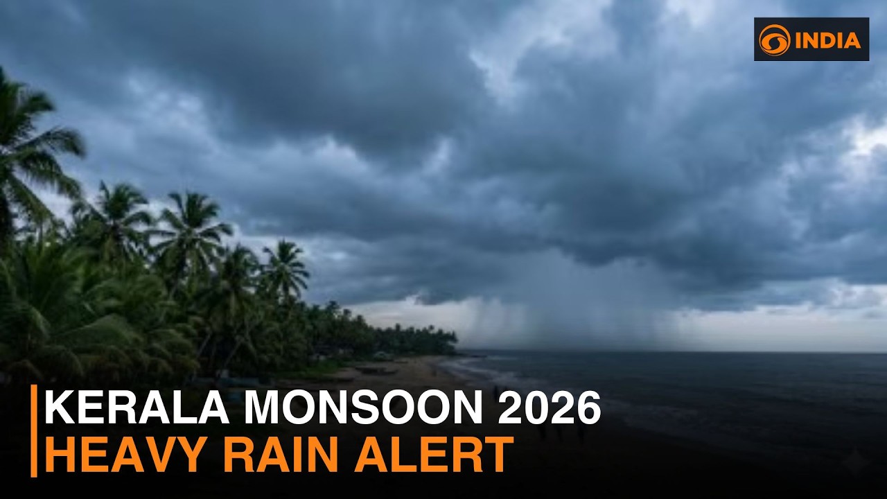

THIRUVANANTHAPURAM — The families living along the steep, rain-scarred hillsides of Kannur and Wayanad know what an orange alert means. It means packing bags, checking drainage channels, and watching the slope behind the house for signs of movement.
The India Meteorological Department placed Kannur under an orange alert on Friday, warning of isolated very heavy rainfall between 115 and 204 millimetres within 24 hours. Eight additional districts, from Thiruvananthapuram in the south to Kasaragod in the north, were placed under yellow alerts for heavy rainfall, effectively putting most of Kerala on a rain watch as the monsoon’s grip on the state tightens.
What makes the current intensity striking is how recently the monsoon arrived at all. The southwest monsoon entered Kerala on June 4, nine days behind the IMD’s original forecast date, one of the latest onset dates in recent years. Within barely a week and a half, that late arrival has given way to persistent, heavy rain that shows no sign of easing. The IMD’s regional centre in Thiruvananthapuram expects wet conditions to continue across the state through at least June 18, with the department cautioning that the rainfall will be accompanied by thunderstorms, lightning, and gusty winds.
The rapid escalation from belated onset to sustained intensity is not what forecasters anticipated. The IMD’s second-stage long-range forecast, issued before the monsoon season, projected below-average rainfall nationally for the June-to-September period, citing an emerging El Nino pattern in the Pacific. That seasonal projection may ultimately prove correct across the four-month average, but it has done little to prepare the state for the kind of concentrated, multi-day rainfall events that turn Kerala’s terrain into a liability.
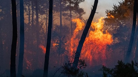
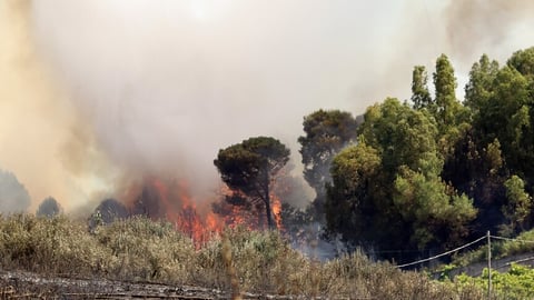
The geography is the problem. Kerala is one of India’s narrowest states, hemmed between the Arabian Sea to the west and the Western Ghats to the east. When the monsoon dumps sustained moisture against those mountains, the runoff is brutal and fast. Streams that are ankle-deep in the morning can become chest-high by afternoon. Hillside settlements across the Ghats, built on laterite soil that absorbs water until it doesn’t, face the risk of sudden landslides with minimal warning time.
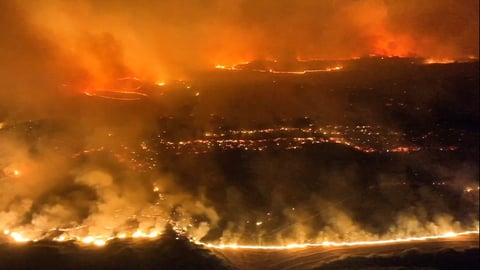
That vulnerability is not theoretical. In July 2024, a massive landslide tore through Wayanad, burying homes and killing hundreds in what became one of Kerala’s worst natural disasters. The Wayanad catastrophe forced a reckoning with the state’s approach to construction in ecologically fragile zones, but much of the population density that made the disaster so deadly remains in place. Authorities on Friday advised residents in areas prone to landslides, mudslides, and flash floods to follow official instructions and move to safer locations if required.

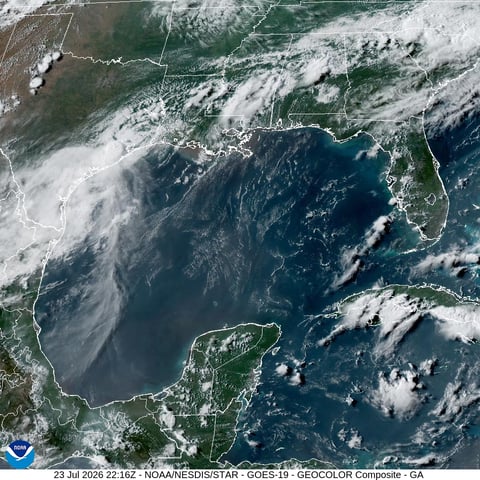
The coastal warnings are equally pointed. The IMD has issued a squally weather alert for the Kerala and Karnataka coasts, as well as Lakshadweep, with wind speeds of 40 to 50 kilometres per hour gusting to 60. Fishermen have been warned against venturing out to sea. The multiple weather systems feeding the current rainfall include upper-air cyclonic circulations over the west-central Bay of Bengal, south coastal Andhra Pradesh, and north interior Karnataka, plus a monsoon trough extending from the east-central Arabian Sea to the Bay of Bengal.
The contrast with western India is stark. While Kerala contends with too much rain too fast, Mumbai is still waiting for the monsoon to arrive at all. The Arabian Sea branch, which carries moisture to Kerala before pushing north toward Mumbai, has stalled for nearly two weeks. A cyclonic circulation forming off Goa may push the monsoon into Mumbai by June 15, but the city has recorded just 13.1 millimetres of rain in June so far, a deficit of 97 per cent. That divergence, both arms of the same monsoon system behaving so differently, is one of the signatures of El Nino’s disruption: irregular distribution matters as much as total volume.
The Bay of Bengal branch, by contrast, has raced ahead of schedule. It entered South Bengal at the earliest date in five years and pushed into Odisha from the north, placing 18 districts under orange alert. That branch’s moisture is now marching deeper into Bihar and Jharkhand. Kerala is the first state on the Arabian Sea branch’s path and therefore the first to feel its intensity when the arm does activate.
For the next five days, the question for Kerala is not whether rain is coming but how much damage it will cause when it falls on terrain that has not recovered from last year’s monsoon season. District administrations in Idukki, Wayanad, and Malappuram, the three highland districts with the steepest slopes and the most laterite exposure, have been placed on heightened preparedness. The state disaster management authority has pre-positioned relief materials and activated control rooms in all 14 districts.
The monsoon arrived late. It is making up for that with a ferocity that the seasonal forecasts did not anticipate, and that Kerala’s topography cannot easily absorb.